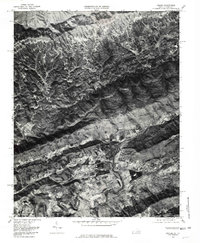
1976 Map of Keokee
USGS Topo · Published 1981About this map
Dryden and Keokee anchor this mid-1970s orthophotoquad, which captures the distinct ridge-and-valley topography along the Virginia and Kentucky border. The landscape is defined by the sharp transition between the steep, forested slopes of the Appalachian highlands and the more open, developed corridors along the North Fork Powell River. Small communities such as Calvin, Sigma, and Purcell follow the narrow valley floors, reflecting a settlement pattern dictated by the winding path of the river and its tributaries like Jones Creek and Clover Fork. The aerial imagery provided by the Commonwealth of Virginia Division of Mineral Resources highlights the heavy vegetation of the northern reaches, where the Cumberland River forms a natural boundary, contrasting with the cleared agricultural and residential plots surrounding the southern township of Dryden.
Find a feature on this map
11 named features on this map. Tap any name to fly to it.
Don’t see what you’re looking for? This feature index may not catch every label — zoom into the map to look around manually.
Map Details
Editions of this 1976 Keokee Map
This is the sole edition of this map. No revisions or reprints were ever made.
Other maps of this area

1887 · Jonesville
USGS Topo · 1:125,000

1891 · Jonesville
USGS Topo · 1:125,000

1894 · Estillville
USGS Topo · 1:125,000

1916 · Nolansburg
USGS Topo · 1:48,000

1919 · Nolansburg
USGS Topo · 1:62,500

1921 · Big Stone Gap
USGS Topo · 1:48,000

1922 · Big Stone Gap
USGS Topo · 1:62,500

1929 · Big Stone Gap
USGS Topo · 1:62,500
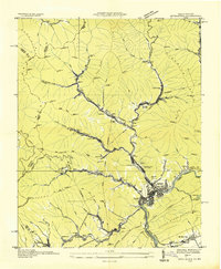
1935 · Appalachia
USGS Topo · 1:24,000
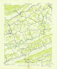
1935 · Ben Hur
USGS Topo · 1:24,000