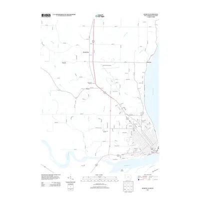
2013 Map of Keokuk
USGS Topo · Published 2013About this map
The Mississippi River and Des Moines River meet at the southern tip of Iowa in this early 21st-century topographic study. The landscape is defined by the convergence of these major waterways, featuring Mud Island and the Red Wing Access point along the banks. The northern reaches of the City of Keokuk extend into the frame, highlighted by the Observation Deck overlooking the river and the City of Keokuk Campground.
Find a feature on this map
132 named features on this map. Tap any name to fly to it.
Don’t see what you’re looking for? This feature index may not catch every label — zoom into the map to look around manually.
Map Details
Editions of this 2013 Keokuk Map
This is the sole edition of this map. No revisions or reprints were ever made.
Other maps of this area

1903 · Kahoka
USGS Topo · 1:125,000

1936 · Keokuk
USGS Topo · 1:62,500

1936 · Fort Madison
USGS Topo · 1:62,500

1949 · Wayland
USGS Topo · 1:24,000

1949 · Kahoka SE
USGS Topo · 1:24,000

1950 · Kahoka SE
USGS Topo · 1:24,000

1950 · Wayland
USGS Topo · 1:24,000

1950 · Keokuk
USGS Topo · 1:62,500

1958 · Burlington
USGS Topo · 1:250,000

1961 · Burlington
USGS Topo · 1:250,000