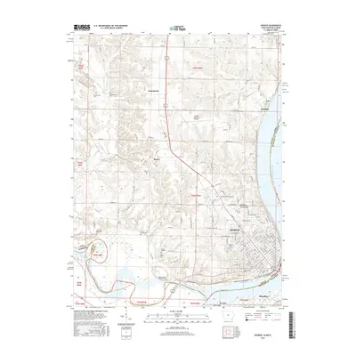
2015 Map of Keokuk
USGS Topo · Published 2015About this map
The Mississippi River and Des Moines River converge at the foot of Keokuk, where the borders of Iowa, Missouri, and Illinois meet. This 2015 survey reveals the modern landscape of this tri-state hub, dominated by the urban grid of Keokuk and the expansive Southeastern Community College Keokuk Campus. Significant family and local history markers are found in the numerous burial grounds scattered across the bluffs, such as the Oiler Family Cemetery and the ancient Baena Vista Mound Cemetery near the riverbanks.
Find a feature on this map
74 named features on this map. Tap any name to fly to it.
Don’t see what you’re looking for? This feature index may not catch every label — zoom into the map to look around manually.
Map Details
Editions of this 2015 Keokuk Map
This is the sole edition of this map. No revisions or reprints were ever made.
Other maps of this area

1903 · Kahoka
USGS Topo · 1:125,000

1936 · Keokuk
USGS Topo · 1:62,500

1936 · Fort Madison
USGS Topo · 1:62,500

1949 · Wayland
USGS Topo · 1:24,000

1949 · Kahoka SE
USGS Topo · 1:24,000

1950 · Kahoka SE
USGS Topo · 1:24,000

1950 · Wayland
USGS Topo · 1:24,000

1950 · Keokuk
USGS Topo · 1:62,500

1958 · Burlington
USGS Topo · 1:250,000

1961 · Burlington
USGS Topo · 1:250,000