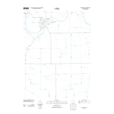
2013 Map of Keosauqua
USGS Topo · Published 2013About this map
Keosauqua sits at a pronounced horseshoe bend of the Des Moines River, serving as a central hub for Van Buren County. The town's grid is bounded by Front St and 8th St, with the Van Buren Recreation Area Golf course occupying the riverfront to the southwest. Across the water to the northwest lies Pittsburg, situated near the mouth of Town Br.
Find a feature on this map
67 named features on this map. Tap any name to fly to it.
Don’t see what you’re looking for? This feature index may not catch every label — zoom into the map to look around manually.
Map Details
Editions of this 2013 Keosauqua Map
This is the sole edition of this map. No revisions or reprints were ever made.
Other maps of this area

1954 · Centerville
USGS Topo · 1:250,000

1957 · Centerville
USGS Topo · 1:250,000

1958 · Centerville
USGS Topo · 1:250,000

1958 · Burlington
USGS Topo · 1:250,000

1961 · Burlington
USGS Topo · 1:250,000

1963 · Burlington
USGS Topo · 1:250,000

1965 · Douds
USGS Topo · 1:24,000

1968 · Anson
USGS Topo · 1:24,000

1968 · Bonaparte
USGS Topo · 1:24,000

1968 · Keosauqua
USGS Topo · 1:24,000