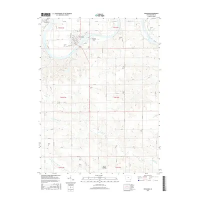
2015 Map of Keosauqua
USGS Topo · Published 2015About this map
The Des Moines River carves a deep, winding path through Van Buren County, anchoring the regional center of Keosauqua. This area serves as a primary hub for the surrounding rural townships, with the village of Pittsburg to the northwest and Mount Sterling situated along the Fox River at the southern boundary. The landscape is notably dense with early Iowa history, indicated by the numerous family and community burial grounds scattered across the terrain, such as Purdom Cem, Lippincott Cem, and Columbus Cem. Infrastructure like the Keosauqua Municipal Airport and a network of county roads like Co HWY j40 connect these outlying agrarian spaces. Genealogists will find particular value in the detailed placement of rural landmarks like Center Chapel and the variety of cemeteries, including Watkins Cem and Wolfe Cem, which provide a clear record of the area's established family lineages and historical settlement patterns.
Find a feature on this map
86 named features on this map. Tap any name to fly to it.
Don’t see what you’re looking for? This feature index may not catch every label — zoom into the map to look around manually.
Map Details
Editions of this 2015 Keosauqua Map
This is the sole edition of this map. No revisions or reprints were ever made.
Other maps of this area

1954 · Centerville
USGS Topo · 1:250,000

1957 · Centerville
USGS Topo · 1:250,000

1958 · Centerville
USGS Topo · 1:250,000

1958 · Burlington
USGS Topo · 1:250,000

1961 · Burlington
USGS Topo · 1:250,000

1963 · Burlington
USGS Topo · 1:250,000

1965 · Douds
USGS Topo · 1:24,000

1968 · Anson
USGS Topo · 1:24,000

1968 · Bonaparte
USGS Topo · 1:24,000

1968 · Keosauqua
USGS Topo · 1:24,000