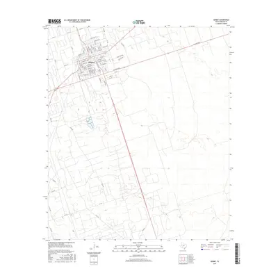
2016 Map of Kermit
USGS Topo · Published 2016About this map
Kermit serves as the focal point of this West Texas survey, exhibiting the organized grid of a desert community defined by its proximity to the Permian Basin's energy resources. The town's layout is meticulously detailed, showing the intersection of primary corridors like W Winkler St and W Dallas Ave with a dense network of residential streets. Beyond the residential core, the landscape transitions into a vast expanse marked by a complex system of county roads and industrial access paths, such as Co Rd 407 and Co Rd 109.
Find a feature on this map
71 named features on this map. Tap any name to fly to it.
Don’t see what you’re looking for? This feature index may not catch every label — zoom into the map to look around manually.
Map Details
Editions of this 2016 Kermit Map
This is the sole edition of this map. No revisions or reprints were ever made.
Other maps of this area

1954 · Pecos
USGS Topo · 1:250,000

1957 · Pecos
USGS Topo · 1:250,000

1968 · Wink South
USGS Topo · 1:24,000

1968 · China Ranch
USGS Topo · 1:24,000

1969 · Pyote NE
USGS Topo · 1:24,000

1970 · Wink North
USGS Topo · 1:24,000

1970 · Vesrue
USGS Topo · 1:24,000

1970 · Kermit NW
USGS Topo · 1:24,000

1970 · Kermit
USGS Topo · 1:24,000

1971 · Notrees NW
USGS Topo · 1:24,000