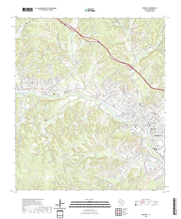
2022 Map of Kerrville
USGS Topo · Published 2022About this map
The Guadalupe River bisects this Hill Country landscape, anchoring the connected communities of Kerrville and Ingram. This recent survey details the modern infrastructure of the region while preserving the location of dozens of legacy landmarks essential for family history research. The map identifies numerous resting places, including the Guadalupe Cem, Garden of Memories North Cem, and the Gate of Heaven Cem near Kerr Canyon Pass. Civic and educational centers are prominent, notably the Kerr County Courthouse and the campus of Schreiner University. Topographic details reveal the complex network of draws and creeks feeding the river, such as Town Creek and Goat Cr, alongside newer developments like the Camp Meeting Cr Reservoir. From the Methodist Encampment RD to the heights of Coyote Ridge, the map documents the area's continued expansion.
Find a feature on this map
263 named features on this map. Tap any name to fly to it.
Don’t see what you’re looking for? This feature index may not catch every label — zoom into the map to look around manually.
Map Details
Editions of this 2022 Kerrville Map
This is the sole edition of this map. No revisions or reprints were ever made.
Other maps of this area

1894 · Kerrville
USGS Topo · 1:125,000

1954 · Llano
USGS Topo · 1:250,000

1954 · San Antonio
USGS Topo · 1:250,000

1955 · Llano
USGS Topo · 1:250,000

1956 · Tuff
USGS Topo · 1:62,500

1956 · Center Point
USGS Topo · 1:62,500

1956 · Llano
USGS Topo · 1:250,000

1957 · San Antonio
USGS Topo · 1:250,000

1964 · Morris Ranch
USGS Topo · 1:24,000

1964 · Nott Branch
USGS Topo · 1:24,000