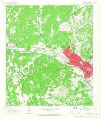
1964 Map of Kerrville
USGS Topo · Published 1967About this map
The Guadalupe River serves as the central artery for this mid-1960s view of the Texas Hill Country, where the city of Kerrville serves as a regional hub for education and healthcare. The landscape is dotted with institutions such as the Schreiner Institute and the State Hospital, alongside local schools like Tivy High Sch and Carver Sch. Residential and institutional growth is concentrated along the riverbanks, extending towards Mt Wesley and the recreational grounds of Kerrville State Park.
Find a feature on this map
48 named features on this map. Tap any name to fly to it.
Don’t see what you’re looking for? This feature index may not catch every label — zoom into the map to look around manually.
Map Details
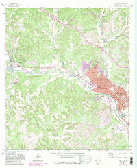
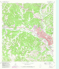
Editions of this 1964 Kerrville Map
Other maps of this area

1894 · Kerrville
USGS Topo · 1:125,000

1954 · Llano
USGS Topo · 1:250,000

1954 · San Antonio
USGS Topo · 1:250,000

1955 · Llano
USGS Topo · 1:250,000

1956 · Tuff
USGS Topo · 1:62,500

1956 · Center Point
USGS Topo · 1:62,500

1956 · Llano
USGS Topo · 1:250,000

1957 · San Antonio
USGS Topo · 1:250,000

1964 · Morris Ranch
USGS Topo · 1:24,000

1964 · Nott Branch
USGS Topo · 1:24,000