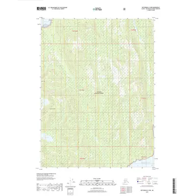
2018 Map of Ketchikan A-3 NW
USGS Topo · Published 2018About this map
The Tongass National Forest covers this coastal stretch of the Alaska Panhandle, where the high peaks of Behm Mtn and Backbone Mtn dominate the interior landscape. The map details a complex network of freshwater drainage systems, including Carp Cr and the winding Skull Cr, which carve through the dense forest toward the shoreline. Along the western edge, the deep waters of Behm Canal provide a vital maritime corridor, while Sykes Lake sits tucked into the lower elevations further inland. Reaching the southern boundary, the terrain meets the Pacific Ocean, illustrating the intersection of steep coastal topography and the marine environment during this 2018 survey. The lack of developed roads or settlements highlights the wilderness character of the Ketchikan Gateway Borough at this time, focusing instead on the natural elevation and hydrography that define the region's geography.
Find a feature on this map
15 named features on this map. Tap any name to fly to it.
Don’t see what you’re looking for? This feature index may not catch every label — zoom into the map to look around manually.
Map Details
Editions of this 2018 Ketchikan A-3 NW Map
This is the sole edition of this map. No revisions or reprints were ever made.
Other maps of this area

1949 · Ketchikan B-4
USGS Topo · 1:63,360

1952 · Ketchikan
USGS Topo · 1:250,000

1952 · Ketchikan B-4
USGS Topo · 1:63,360

1955 · Ketchikan A-4
USGS Topo · 1:63,360

1955 · Ketchikan A-3
USGS Topo · 1:63,360

1955 · Ketchikan B-3
USGS Topo · 1:63,360

1955 · Ketchikan
USGS Topo · 1:250,000
1995 · Ketchikan B-4
USGS Topo · 1:63,360
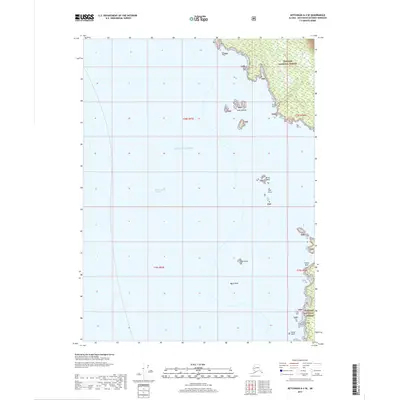
2017 · Ketchikan A-4 SE
USGS Topo · 1:25,000
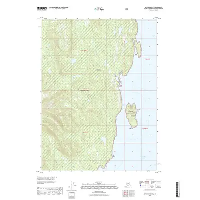
2017 · Ketchikan B-4 SE
USGS Topo · 1:25,000