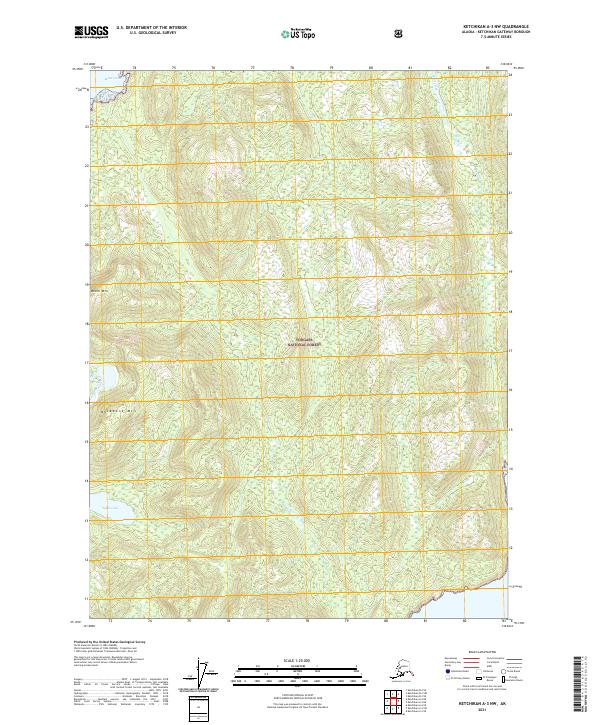
2021 Map of Ketchikan A-3 NW
USGS Topo · Published 2021About this map
Behm Canal defines the northwestern corner of this territory, where the marine waters meet the dense interior of the Tongass National Forest. The landscape is dominated by significant elevations, including the high peaks of Behm Mtn and Backbone Mtn, which overlook a network of alpine drainages. Water bodies such as Sykes Lake are scattered throughout the rugged topography, feeding into streams like Skull Creek, Chin Cr, and Carp Cr. This 2021 survey illustrates a pristine environment largely defined by its natural hydrology and forest boundaries, showing the complex drainage patterns of the Ketchikan Gateway Borough before they reach the coastal inlets.
Find a feature on this map
14 named features on this map. Tap any name to fly to it.
Don’t see what you’re looking for? This feature index may not catch every label — zoom into the map to look around manually.
Map Details
Editions of this 2021 Ketchikan A-3 NW Map
This is the sole edition of this map. No revisions or reprints were ever made.
Other maps of this area

1949 · Ketchikan B-4
USGS Topo · 1:63,360

1952 · Ketchikan
USGS Topo · 1:250,000

1952 · Ketchikan B-4
USGS Topo · 1:63,360

1955 · Ketchikan A-4
USGS Topo · 1:63,360

1955 · Ketchikan A-3
USGS Topo · 1:63,360

1955 · Ketchikan B-3
USGS Topo · 1:63,360

1955 · Ketchikan
USGS Topo · 1:250,000
1995 · Ketchikan B-4
USGS Topo · 1:63,360
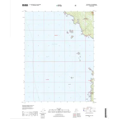
2017 · Ketchikan A-4 SE
USGS Topo · 1:25,000
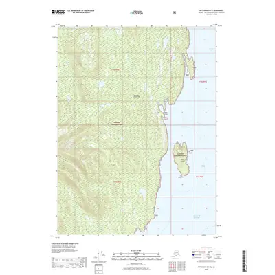
2017 · Ketchikan B-4 SE
USGS Topo · 1:25,000