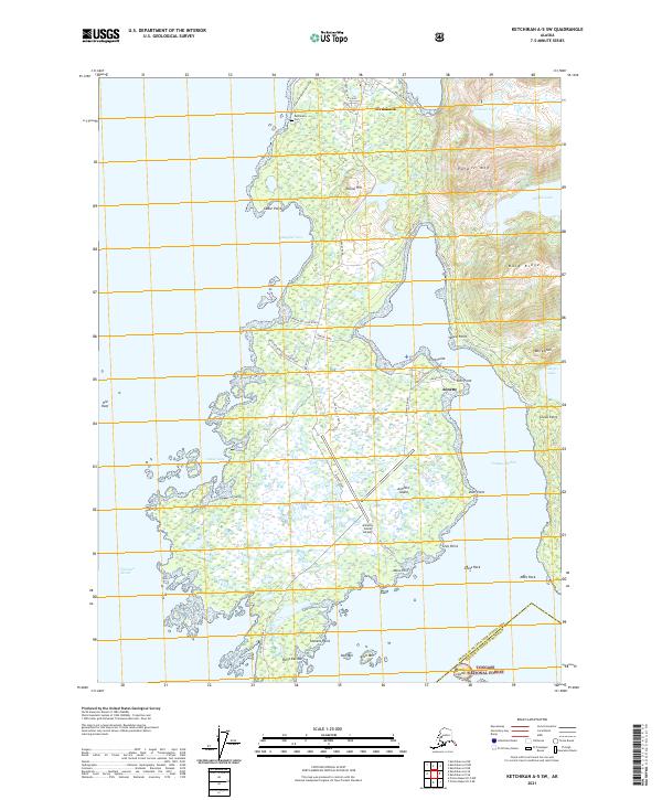
2021 Map of Ketchikan A-5 SW
USGS Topo · Published 2021About this map
The community of Metlakatla anchors this study of the northern and central portions of Annette Island, situated within the Annette Island Reserve. The map details a sophisticated transportation and utility network centered around the Annette Island Airport, featuring numerous specialized routes such as Hatchery Road, Hydro Plant Road, and Weather Bureau Housing Road. These labels point to the island's self-contained infrastructure, supporting its local economy and public services.
Find a feature on this map
56 named features on this map. Tap any name to fly to it.
Don’t see what you’re looking for? This feature index may not catch every label — zoom into the map to look around manually.
Map Details
Editions of this 2021 Ketchikan A-5 SW Map
This is the sole edition of this map. No revisions or reprints were ever made.
Other maps of this area

1948 · Prince Rupert D-6
USGS Topo · 1:63,360

1948 · Ketchikan A-6
USGS Topo · 1:63,360

1951 · Prince Rupert
USGS Topo · 1:250,000

1951 · Prince Rupert D-6
USGS Topo · 1:63,360

1952 · Ketchikan
USGS Topo · 1:250,000

1955 · Ketchikan A-5
USGS Topo · 1:63,360
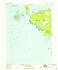
1955 · Prince Rupert D-5
USGS Topo · 1:63,360

1955 · Ketchikan
USGS Topo · 1:250,000

1959 · Prince Rupert
USGS Topo · 1:250,000

1964 · Prince Rupert
USGS Topo · 1:250,000