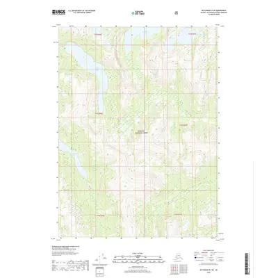
2018 Map of Ketchikan B-3 NE
USGS Topo · Published 2018About this map
Tongass National Forest dominates this coastal Alaska landscape, preserving a wilderness of high-elevation basins and steep drainage systems. The topography is defined by significant freshwater bodies, most notably Upper Checats Lake in the northwest and the Punchbowl Lake basin to the north. These alpine and sub-alpine lakes feed into drainages like Winstanley Cr, which flows from the Winstanley Lakes toward the coast. The map illustrates the complex hydrography of the Ketchikan Gateway area, where the terrain rises sharply from the shoreline into the interior mountains. This 2018 survey provides an exact record of the glacial-carved hydrology and forest boundaries within one of the nation's most expansive wilderness reserves.
Find a feature on this map
11 named features on this map. Tap any name to fly to it.
Don’t see what you’re looking for? This feature index may not catch every label — zoom into the map to look around manually.
Map Details
Editions of this 2018 Ketchikan B-3 NE Map
This is the sole edition of this map. No revisions or reprints were ever made.
Other maps of this area

1952 · Ketchikan
USGS Topo · 1:250,000

1955 · Ketchikan C-3
USGS Topo · 1:63,360

1955 · Ketchikan C-2
USGS Topo · 1:63,360

1955 · Ketchikan B-2
USGS Topo · 1:63,360

1955 · Ketchikan B-3
USGS Topo · 1:63,360

1955 · Ketchikan
USGS Topo · 1:250,000

1996 · Ketchikan C-2
USGS Topo · 1:63,360
1996 · Ketchikan C-3
USGS Topo · 1:63,360
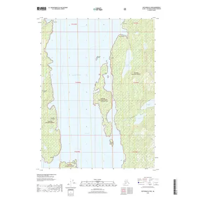
2018 · Ketchikan B-3 NW
USGS Topo · 1:25,000
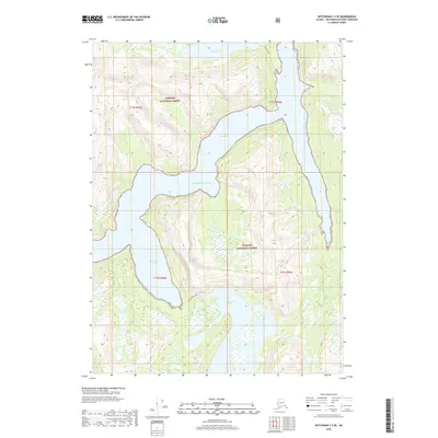
2018 · Ketchikan C-3 SE
USGS Topo · 1:25,000