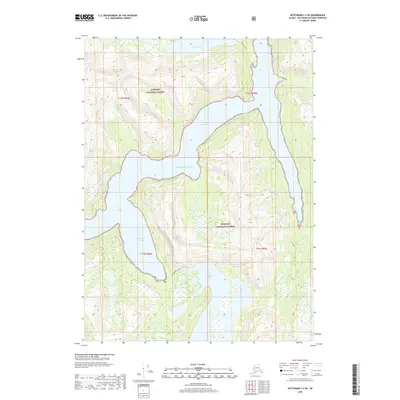
2018 Map of Ketchikan C-3 SE
USGS Topo · Published 2018About this map
Tongass National Forest dominates this coastal Alaska landscape, where the sea meets the steep glacial topography of the Ketchikan Gateway Borough. The maritime geography is defined by deep inlets and high-elevation freshwater bodies, most notably where Rudyerd Bay carves into the mainland. To the south, the dramatic transition from the Pacific Ocean to the protected waters of Punchbowl Cove highlights the intricate shoreline. This 2018 survey illustrates a wilderness nearly untouched by road infrastructure, where movement is dictated by the water. Inland, significant alpine water features like Punchbowl Lake and Nooya Lake sit thousands of feet above the saltwater fjords, illustrating the extreme vertical relief characteristic of the region's coastal rainforest.
Find a feature on this map
11 named features on this map. Tap any name to fly to it.
Don’t see what you’re looking for? This feature index may not catch every label — zoom into the map to look around manually.
Map Details
Editions of this 2018 Ketchikan C-3 SE Map
This is the sole edition of this map. No revisions or reprints were ever made.
Other maps of this area

1952 · Ketchikan
USGS Topo · 1:250,000

1955 · Ketchikan C-3
USGS Topo · 1:63,360

1955 · Ketchikan C-2
USGS Topo · 1:63,360

1955 · Ketchikan B-2
USGS Topo · 1:63,360

1955 · Ketchikan B-3
USGS Topo · 1:63,360

1955 · Ketchikan
USGS Topo · 1:250,000

1996 · Ketchikan C-2
USGS Topo · 1:63,360
1996 · Ketchikan C-3
USGS Topo · 1:63,360
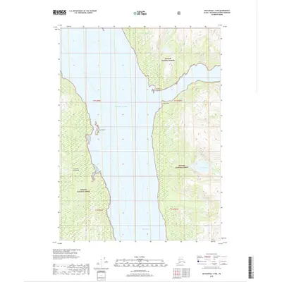
2018 · Ketchikan C-3 NW
USGS Topo · 1:25,000
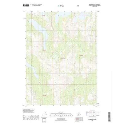
2018 · Ketchikan B-3 NE
USGS Topo · 1:25,000