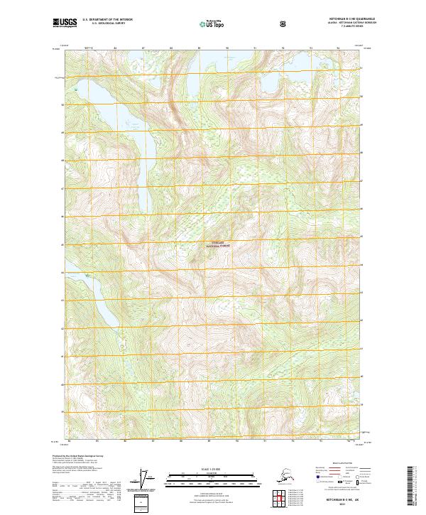
2021 Map of Ketchikan B-3 NE
USGS Topo · Published 2021About this map
Tongass National Forest dominates this coastal Alaska landscape, characterized by steep, glacially-carved topography and a network of high-elevation freshwater bodies. The terrain is defined by dramatic vertical relief, where drainage patterns feed into systems like Winstanley Cr, which flows out of the Winstanley Lakes. Other significant water features include the isolated Punchbowl Lake in the north and Upper Checats Lake situated in the northwestern interior. This 2021 survey reflects the enduring wilderness character of the region, where map coordinates and township lines like t74s r96e provide the only formal structure across the uninhabited mountains and dense forest canopy.
Find a feature on this map
11 named features on this map. Tap any name to fly to it.
Don’t see what you’re looking for? This feature index may not catch every label — zoom into the map to look around manually.
Map Details
Editions of this 2021 Ketchikan B-3 NE Map
This is the sole edition of this map. No revisions or reprints were ever made.
Other maps of this area

1952 · Ketchikan
USGS Topo · 1:250,000

1955 · Ketchikan C-3
USGS Topo · 1:63,360

1955 · Ketchikan C-2
USGS Topo · 1:63,360

1955 · Ketchikan B-2
USGS Topo · 1:63,360

1955 · Ketchikan B-3
USGS Topo · 1:63,360

1955 · Ketchikan
USGS Topo · 1:250,000

1996 · Ketchikan C-2
USGS Topo · 1:63,360
1996 · Ketchikan C-3
USGS Topo · 1:63,360
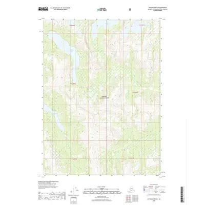
2018 · Ketchikan B-3 NE
USGS Topo · 1:25,000
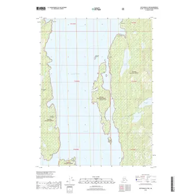
2018 · Ketchikan B-3 NW
USGS Topo · 1:25,000