
1954 Map of Ketchikan B-6
USGS Topo · Published 1960About this map
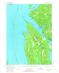
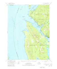
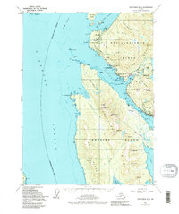
Ketchikan serves as the focal point of this mid-century coastal survey, situated along the Tongass Narrows where the maritime economy of Southeast Alaska is clearly visible. The map details a landscape defined by the transition from industrial waterfronts to the high peaks of Revillagigedo Island and Gravina Island. To the northwest of the main settlement, Wacker and the adjacent Ward Cove harbor show evidence of local industry with a Cannery and the Tongass Road winding along the shore. Cultural landmarks are prominent near the coast, including Totem Bight, Totem Village, and Totem Lodge, reflecting the region's heritage. The interior is marked by significant hydrological features like Connell Lake and Lake Perseverance, while the U S Coast Guard Station near Pt Higgins underscores the strategic importance of this waterway between Clarence Strait and Behm Canal.
Find a feature on this map
73 named features on this map. Tap any name to fly to it.
Don’t see what you’re looking for? This feature index may not catch every label — zoom into the map to look around manually.
Map Details
Editions of this 1954 Ketchikan B-6 Map
4 editions found
Other maps of this area

1948 · Ketchikan A-6
USGS Topo · 1:63,360

1948 · Craig A-1
USGS Topo · 1:63,360

1948 · Ketchikan C-5
USGS Topo · 1:63,360

1949 · Ketchikan C-6
USGS Topo · 1:63,360

1949 · Craig B-1
USGS Topo · 1:63,360

1950 · Craig B-1
USGS Topo · 1:63,360

1950 · Craig C-1
USGS Topo · 1:63,360

1951 · Craig C-1
USGS Topo · 1:63,360

1952 · Ketchikan
USGS Topo · 1:250,000

1952 · Ketchikan C-6
USGS Topo · 1:63,360