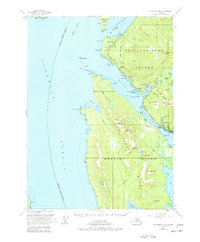
1954 Map of Ketchikan B-6
USGS Topo · Published 1978About this map
Revillagigedo Island and Gravina Island dominate this coastal survey, separated by the vital waters of the Tongass Narrows. The bustling port city of Ketchikan is anchored on the eastern shore, showing its critical maritime infrastructure including the US Coast Guard Station, multiple radio towers, and a seaplane base. Across the narrows on the northern tip of Gravina Island, the Ketchikan Intl Airport provides a modern link to this isolated landscape within the Tongass National Forest. Cultural and recreational sites like Totem Bight, Totem Lodge, and the Ketchikan Rifle Range sit along the North Tongass Road, highlighting the community's development along the coastline of Clarence Strait and Behm Canal. To the north, Betton Island and the Guard Islands light mark the entrance to the Clover Passage.
Find a feature on this map
85 named features on this map. Tap any name to fly to it.
Don’t see what you’re looking for? This feature index may not catch every label — zoom into the map to look around manually.
Map Details
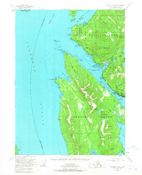
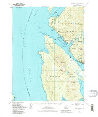
Editions of this 1954 Ketchikan B-6 Map
4 editions found

Other maps of this area

1948 · Ketchikan A-6
USGS Topo · 1:63,360

1948 · Craig A-1
USGS Topo · 1:63,360

1948 · Ketchikan C-5
USGS Topo · 1:63,360

1949 · Ketchikan C-6
USGS Topo · 1:63,360

1949 · Craig B-1
USGS Topo · 1:63,360

1950 · Craig B-1
USGS Topo · 1:63,360

1950 · Craig C-1
USGS Topo · 1:63,360

1951 · Craig C-1
USGS Topo · 1:63,360

1952 · Ketchikan
USGS Topo · 1:250,000

1952 · Ketchikan C-6
USGS Topo · 1:63,360