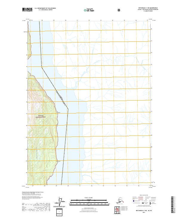
2021 Map of Ketchikan C-1 NE
USGS Topo · Published 2021About this map
The Halleck Range dominates the western interior of this coastal terrain within the Tongass National Forest, where steep slopes descend toward the international boundary. This area marks a critical intersection of North American geography, where the Canada and United States border runs through the water and across the shoreline near Cliff Point. The landscape is defined by its drainage systems, including the Georgie River and its tributary, the E Georgie River, which flow through the eastern reaches alongside Outram Cr. Southward along the coast, the prominence of Slab Point stands as a maritime landmark. This survey documents the transition from the high peaks of the range to the coastal waters, tracing the precise legal boundary that separates Alaskan wilderness from British Columbia.
Find a feature on this map
15 named features on this map. Tap any name to fly to it.
Don’t see what you’re looking for? This feature index may not catch every label — zoom into the map to look around manually.
Map Details
Editions of this 2021 Ketchikan C-1 NE Map
This is the sole edition of this map. No revisions or reprints were ever made.
Other maps of this area

1952 · Ketchikan
USGS Topo · 1:250,000

1955 · Ketchikan D-1
USGS Topo · 1:63,360

1955 · Ketchikan C-1
USGS Topo · 1:63,360

1955 · Ketchikan
USGS Topo · 1:250,000
2018 · Ketchikan C-1 NE
USGS Topo · 1:25,000
2018 · Ketchikan C-1 SW
USGS Topo · 1:25,000
2018 · Ketchikan C-1 SE
USGS Topo · 1:25,000
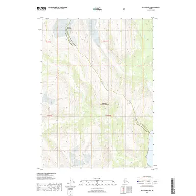
2018 · Ketchikan D-1 SW
USGS Topo · 1:25,000
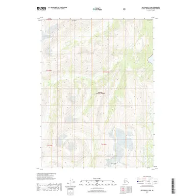
2018 · Ketchikan C-1 NW
USGS Topo · 1:25,000
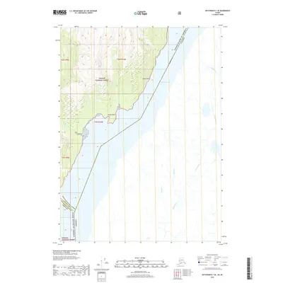
2018 · Ketchikan D-1 SE
USGS Topo · 1:25,000