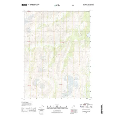
2018 Map of Ketchikan C-1 NW
USGS Topo · Published 2018About this map
Mt Hayford towers over this section of Southeast Alaska, marking the high ground of the Halleck Range within the sprawling Tongass National Forest. The landscape is defined by extreme elevation changes, transitioning from the tidal waters at Verdure Point in the northeast to the alpine peaks in the west. This 2018 survey documents the intricate glaciated terrain and dense coastal forest system, showing a wilderness area devoid of roads or permanent settlements. Instead, the map provides a precision record of the natural hydrology and topography, capturing the various drainages and peaks that shape this part of the Ketchikan Gateway Borough. It is a portrait of the northern Pacific temperate rainforest in its largely undisturbed state, where land management boundaries like those of the Tongass National Forest intersect with traditional surveying townships.
Find a feature on this map
9 named features on this map. Tap any name to fly to it.
Don’t see what you’re looking for? This feature index may not catch every label — zoom into the map to look around manually.
Map Details
Editions of this 2018 Ketchikan C-1 NW Map
This is the sole edition of this map. No revisions or reprints were ever made.
Other maps of this area

1952 · Ketchikan
USGS Topo · 1:250,000

1955 · Ketchikan D-2
USGS Topo · 1:63,360

1955 · Ketchikan C-2
USGS Topo · 1:63,360

1955 · Ketchikan D-1
USGS Topo · 1:63,360

1955 · Ketchikan C-1
USGS Topo · 1:63,360

1955 · Ketchikan
USGS Topo · 1:250,000

1996 · Ketchikan C-2
USGS Topo · 1:63,360
1996 · Ketchikan D-2
USGS Topo · 1:63,360
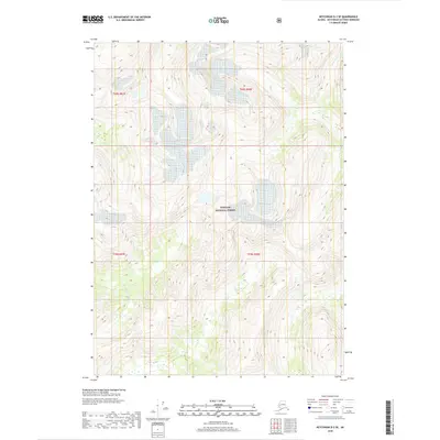
2018 · Ketchikan D-2 SE
USGS Topo · 1:25,000
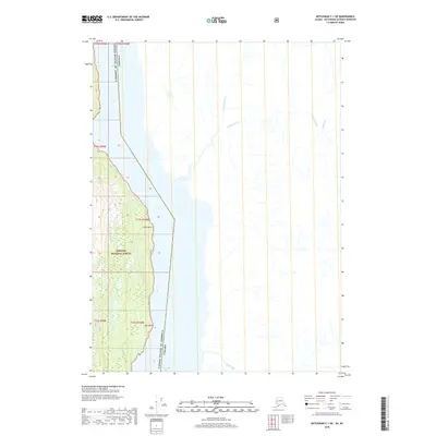
2018 · Ketchikan C-1 NE
USGS Topo · 1:25,000