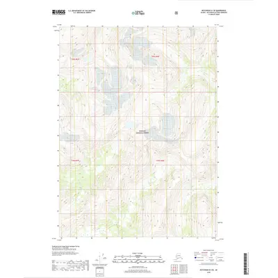
2018 Map of Ketchikan D-2 SE
USGS Topo · Published 2018About this map
Tongass National Forest encompasses the entirety of this coastal Alaskan landscape, where the terrain is defined by high-elevation drainage systems and the intricate topography of the Ketchikan Gateway Borough. The northeastern corner of the map features the Davis River, while the southwestern quadrant is marked by the winding path of Barrier Cr. These water bodies are central to the region's natural drainage, serving as key markers in a territory largely absent of human infrastructure. The map provides a detailed view of the township and range divisions, including t69s r97e, t69s r98e, t70s r97e, and t70s r98e, which establish the legal framework for this wilderness. The contour density highlights a landscape of significant verticality, where glacial or fluvial erosion has shaped the valleys and ridges long before this contemporary survey.
Find a feature on this map
7 named features on this map. Tap any name to fly to it.
Don’t see what you’re looking for? This feature index may not catch every label — zoom into the map to look around manually.
Map Details
Editions of this 2018 Ketchikan D-2 SE Map
This is the sole edition of this map. No revisions or reprints were ever made.
Other maps of this area

1952 · Ketchikan
USGS Topo · 1:250,000

1955 · Ketchikan D-2
USGS Topo · 1:63,360

1955 · Ketchikan C-2
USGS Topo · 1:63,360

1955 · Ketchikan D-1
USGS Topo · 1:63,360

1955 · Ketchikan C-1
USGS Topo · 1:63,360

1955 · Ketchikan
USGS Topo · 1:250,000

1996 · Ketchikan C-2
USGS Topo · 1:63,360
1996 · Ketchikan D-2
USGS Topo · 1:63,360
2018 · Ketchikan D-2 NW
USGS Topo · 1:25,000
2018 · Ketchikan D-1 SW
USGS Topo · 1:25,000