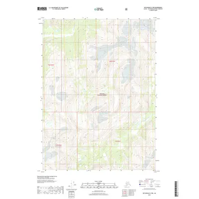
2018 Map of Ketchikan D-2 NW
USGS Topo · Published 2018About this map
Chickamin River and its major tributaries dominate this 2018 survey of the remote Alaskan panhandle. The area is defined by the sharp verticality of the Tongass National Forest, where steep glacial valleys channel water through the S Fork Chickamin River and Indian Cr. This map captures a landscape almost entirely devoid of human infrastructure, focusing instead on the complex drainage patterns and high-elevation contours of the Ketchikan Gateway region. The hydrography reveals a network of glacial meltwater and seasonal runoff that feeds the larger river systems, illustrating the undisturbed wilderness character of this protected forest land in the early 21st century.
Find a feature on this map
8 named features on this map. Tap any name to fly to it.
Don’t see what you’re looking for? This feature index may not catch every label — zoom into the map to look around manually.
Map Details
Editions of this 2018 Ketchikan D-2 NW Map
This is the sole edition of this map. No revisions or reprints were ever made.
Other maps of this area

1951 · Bradfield Canal
USGS Topo · 1:250,000

1952 · Ketchikan
USGS Topo · 1:250,000

1954 · Bradfield Canal
USGS Topo · 1:250,000

1955 · Ketchikan D-2
USGS Topo · 1:63,360

1955 · Bradfield canal A-2
USGS Topo · 1:63,360

1955 · Ketchikan D-3
USGS Topo · 1:63,360

1955 · Bradfield canal A-3
USGS Topo · 1:63,360

1955 · Ketchikan
USGS Topo · 1:250,000

1955 · Bradfield Canal
USGS Topo · 1:250,000
1996 · Ketchikan D-3
USGS Topo · 1:63,360