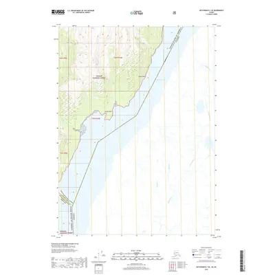
2018 Map of Ketchikan D-1 SE
USGS Topo · Published 2018About this map
Tongass National Forest dominates the western landscape of this coastal region, where steep timbered slopes meet the saltwater of the Portland Canal. This waterway serves as the international boundary between the United States and Canada, slicing through the coastal mountains of Southeast Alaska. The map traces the intricate hydrology of the area, from the silty flow of the Soule River to the smaller drainage of Bullion Cr and Hume Cr on the eastern shore. Prominent coastal markers like Glacier Point and Yankee Point define the rugged shoreline, illustrating the transition from high-elevation glacial terrain to the deep-water fjord. This survey provides a precise look at the 2018 boundary lines and natural landmarks in a region defined by its isolation and maritime geography.
Find a feature on this map
15 named features on this map. Tap any name to fly to it.
Don’t see what you’re looking for? This feature index may not catch every label — zoom into the map to look around manually.
Map Details
Editions of this 2018 Ketchikan D-1 SE Map
This is the sole edition of this map. No revisions or reprints were ever made.
Other maps of this area

1952 · Ketchikan
USGS Topo · 1:250,000

1955 · Ketchikan D-1
USGS Topo · 1:63,360

1955 · Ketchikan C-1
USGS Topo · 1:63,360

1955 · Ketchikan
USGS Topo · 1:250,000
2018 · Ketchikan C-1 NE
USGS Topo · 1:25,000
2018 · Ketchikan D-1 SW
USGS Topo · 1:25,000
2018 · Ketchikan D-1 NE
USGS Topo · 1:25,000
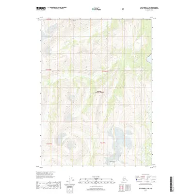
2018 · Ketchikan C-1 NW
USGS Topo · 1:25,000
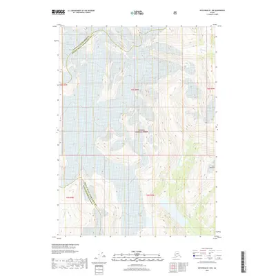
2018 · Ketchikan D-1 NW
USGS Topo · 1:25,000
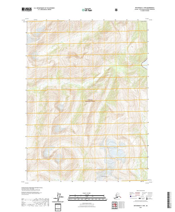
2021 · Ketchikan C-1 NW
USGS Topo · 1:25,000