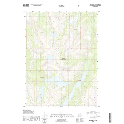
2018 Map of Ketchikan C-2 SW
USGS Topo · Published 2018About this map
Tongass National Forest encompasses this entire coastal wilderness, where glacial history has carved a high-elevation terrain of scattered alpine lakes and steep drainages. In the center of the quadrangle, Big Goat Lake and its smaller neighbor, Little Goat Lake, sit within a series of deep basins that feed the surrounding watershed. The eastern portion of the map is dominated by the Wilson River corridor, which flows through Wilson Lake as it makes its way toward the coast. Higher to the northwest, Todd Lake remains isolated among the contours, illustrating the character of the Southeast Alaska archipelago where timber and water resources have long shaped land use. This 2018 survey detail provides a look at the natural hydrography and public land boundaries that remain fundamental to the region's management and conservation.
Find a feature on this map
10 named features on this map. Tap any name to fly to it.
Don’t see what you’re looking for? This feature index may not catch every label — zoom into the map to look around manually.
Map Details
Editions of this 2018 Ketchikan C-2 SW Map
This is the sole edition of this map. No revisions or reprints were ever made.
Other maps of this area

1952 · Ketchikan
USGS Topo · 1:250,000

1955 · Ketchikan C-3
USGS Topo · 1:63,360

1955 · Ketchikan C-2
USGS Topo · 1:63,360

1955 · Ketchikan B-2
USGS Topo · 1:63,360

1955 · Ketchikan B-3
USGS Topo · 1:63,360

1955 · Ketchikan
USGS Topo · 1:250,000

1996 · Ketchikan C-2
USGS Topo · 1:63,360
1996 · Ketchikan C-3
USGS Topo · 1:63,360
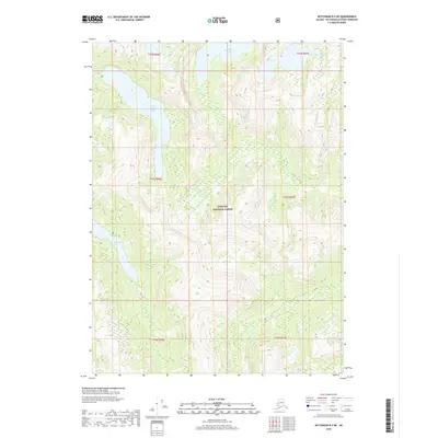
2018 · Ketchikan B-3 NE
USGS Topo · 1:25,000
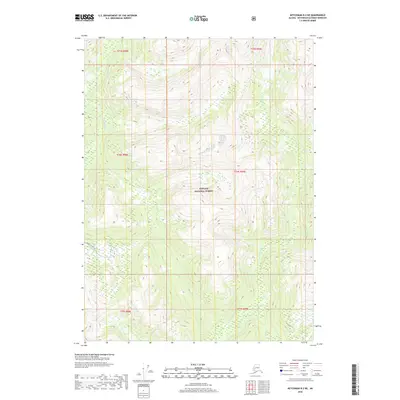
2018 · Ketchikan B-2 NE
USGS Topo · 1:25,000