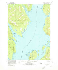
1949 Map of Ketchikan C-6
USGS Topo · Published 1974About this map
Revillagigedo Island and the western reaches of the Tongass National Forest define this mid-century coastal survey. The map documents an era of active resource extraction along the shoreline, highlighted by the Gold Standard Mine and Steers Mine positioned near the western coast. These industrial sites were connected by light-duty roads and trails that carved through the dense timber of the Alaskan wilderness.
Find a feature on this map
54 named features on this map. Tap any name to fly to it.
Don’t see what you’re looking for? This feature index may not catch every label — zoom into the map to look around manually.
Map Details
Editions of this 1949 Ketchikan C-6 Map
3 editions found
Other maps of this area

1948 · Ketchikan C-5
USGS Topo · 1:63,360

1949 · Ketchikan C-6
USGS Topo · 1:63,360

1949 · Craig B-1
USGS Topo · 1:63,360

1949 · Craig D-1
USGS Topo · 1:63,360

1950 · Craig B-1
USGS Topo · 1:63,360

1950 · Craig C-1
USGS Topo · 1:63,360

1951 · Craig C-1
USGS Topo · 1:63,360

1951 · Craig D-1
USGS Topo · 1:63,360

1952 · Ketchikan
USGS Topo · 1:250,000

1952 · Ketchikan C-6
USGS Topo · 1:63,360