
1952 Map of Ketchikan C-6
USGS Topo · Published 1954About this map
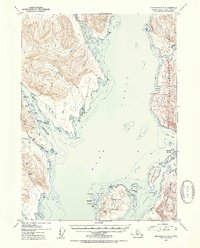
Behm Canal defines this coastal landscape, separating the massive Revillagigedo Island to the east from the mainland and smaller islands to the west. Within the Tongass National Forest, the topography is characterized by steep rises like Gold Mtn and Mt Marr, which loom over a complex network of inlets and passages. The map reveals a specific era of extractive industry, particularly around Helm Bay, where several mining operations are located.
Find a feature on this map
51 named features on this map. Tap any name to fly to it.
Don’t see what you’re looking for? This feature index may not catch every label — zoom into the map to look around manually.
Map Details
Editions of this 1952 Ketchikan C-6 Map
2 editions found
Other maps of this area

1948 · Ketchikan C-5
USGS Topo · 1:63,360

1949 · Ketchikan C-6
USGS Topo · 1:63,360

1949 · Craig B-1
USGS Topo · 1:63,360

1949 · Craig D-1
USGS Topo · 1:63,360

1950 · Craig B-1
USGS Topo · 1:63,360

1950 · Craig C-1
USGS Topo · 1:63,360

1951 · Craig C-1
USGS Topo · 1:63,360

1951 · Craig D-1
USGS Topo · 1:63,360

1952 · Ketchikan
USGS Topo · 1:250,000

1952 · Ketchikan D-5
USGS Topo · 1:63,360