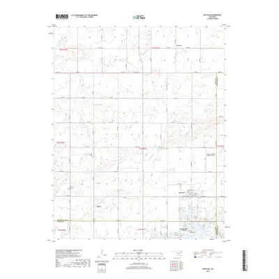
2019 Map of Ketchum
USGS Topo · Published 2019About this map
Ketchum serves as the focal point of this northeastern Oklahoma survey, situated near the confluence of Craig and Mayes counties. The town is flanked by historic burial grounds, including Old Ketchum Cem to the northwest and Ketchum Cem to the east, providing valuable points of interest for genealogical research. The landscape is defined by the winding paths of Mustang Creek and Locust Creek, which flow toward the inlets of the Grand Lake O' the Cherokees.
Find a feature on this map
41 named features on this map. Tap any name to fly to it.
Don’t see what you’re looking for? This feature index may not catch every label — zoom into the map to look around manually.
Map Details
Editions of this 2019 Ketchum Map
This is the sole edition of this map. No revisions or reprints were ever made.
Other maps of this area
1896 · Pryor
USGS Topo · 1:125,000
1899 · Siloam Springs
USGS Topo · 1:125,000
1901 · Vinita
USGS Topo · 1:125,000
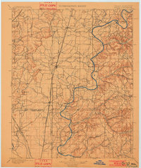
1901 · Pryor
USGS Topo · 1:125,000
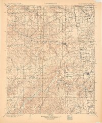
1903 · Siloam Springs
USGS Topo · 1:125,000
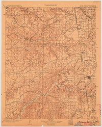
1904 · Siloam Springs
USGS Topo · 1:125,000
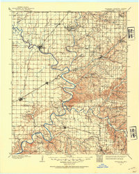
1907 · Wyandotte
USGS Topo · 1:125,000
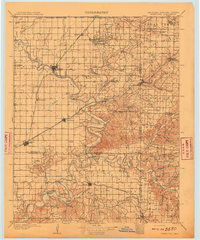
1909 · Wyandotte
USGS Topo · 1:125,000
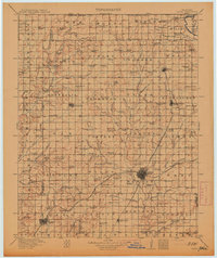
1913 · Vinita
USGS Topo · 1:125,000

1954 · Tulsa
USGS Topo · 1:250,000