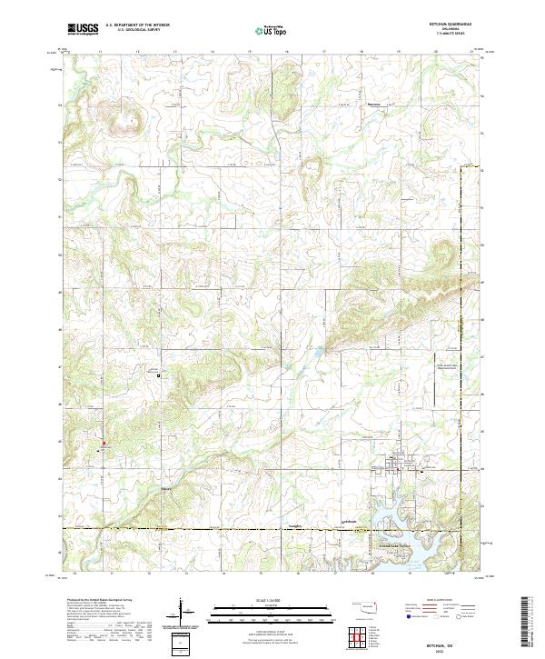
2022 Map of Ketchum
USGS Topo · Published 2022About this map
Grand Lake O' The Cherokees dominates the southeastern quadrant of this terrain, where the communities of Ketchum, Langley, and Grand Lake Towne meet at the borders of Craig, Mayes, and Delaware Counties. The landscape is defined by the drainage systems of Mustang Creek and Locust Creek, which carve through the undulating territory north of the lake. For family historians, several small burial sites are preserved, including the Ketchum Family Cem and Carselowey Cem. The presence of the South Grand Lake Regional Airport north of the main settlement indicates the modern utility of the area, while smaller named locales like Success and Okoee hint at the older rural network of northeast Oklahoma. The road system is heavily gridded, following the township and range lines that structured the region long before the reservoir transformed the local economy.
Find a feature on this map
48 named features on this map. Tap any name to fly to it.
Don’t see what you’re looking for? This feature index may not catch every label — zoom into the map to look around manually.
Map Details
Editions of this 2022 Ketchum Map
This is the sole edition of this map. No revisions or reprints were ever made.
Other maps of this area

1896 · Pryor
USGS Topo · 1:125,000

1899 · Siloam Springs
USGS Topo · 1:125,000

1901 · Vinita
USGS Topo · 1:125,000

1901 · Pryor
USGS Topo · 1:125,000

1903 · Siloam Springs
USGS Topo · 1:125,000

1904 · Siloam Springs
USGS Topo · 1:125,000

1907 · Wyandotte
USGS Topo · 1:125,000

1909 · Wyandotte
USGS Topo · 1:125,000

1913 · Vinita
USGS Topo · 1:125,000

1954 · Tulsa
USGS Topo · 1:250,000