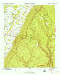
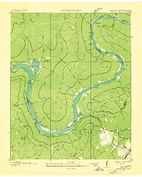
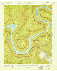
1943 Map of Ketner Gap
USGS Topo · Published 1960This historical map portrays the area of Ketner Gap in 1943, primarily covering Marion County as well as portions of Sequatchie County and Hamilton County. Featuring a scale of 1:24000, this map provides a highly detailed snapshot of the terrain, roads, buildings, counties, and historical landmarks in the Ketner Gap region at the time. Published in 1960, it is one of 5 known editions of this map due to revisions or reprints.
Find a feature on this map
62 named features on this map. Tap any name to fly to it.
Don’t see what you’re looking for? This feature index may not catch every label — zoom into the map to look around manually.
Map Details
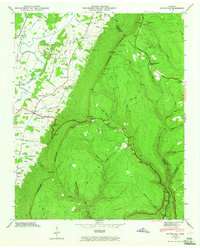
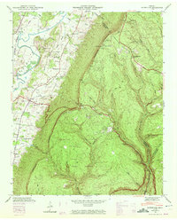
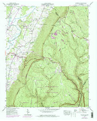
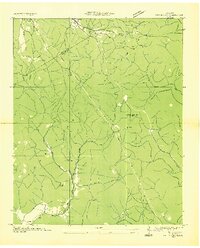
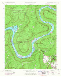
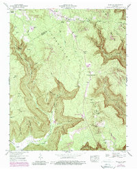
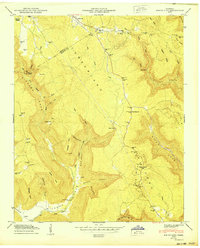
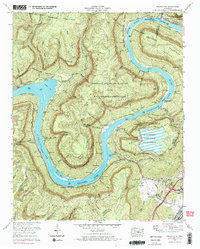
Editions of this 1943 Ketner Gap Map
5 editions found
Historical Maps of Marion County Through Time
10 maps found

1936 Ketner Gap
Marion County, TN
1936 Wauhatchie
Marion County, TN
1936 White City
Marion County, TN
1942 Wauhatchie
Marion County, TN
1943 Ketner Gap
Marion County, TN
1943 Wauhatchie
Marion County, TN

1946 Ketner Gap
Marion County, TN
1947 White City
Marion County, TN
1950 White City
Marion County, TN
1970 Wauhatchie
Marion County, TN
Featured Locations
- Signal Mountain, TN
- Powells Crossroads, TN
- Shirleyton, TN
- Whitwell, TN
- Sulphur Springs, Powells Crossroads