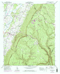
1943 Map of Ketner Gap
USGS Topo · Published 1977About this map
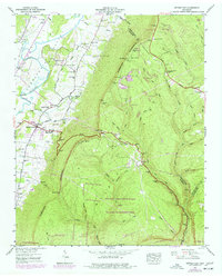
The Cumberland Escarpment dominates this 1943 survey, rising sharply from the Sequatchie Valley and the banks of the Sequatchie River. The landscape is defined by the contrast between the valley floor's small settlements like Powells Crossroads and Shirleyton, and the heavily forested plateau of the Prentice Cooper State Forest and Wildlife Management Area. Mountain passes such as Ketner Gap and Burnett Gap provide vital transitions between these environments, carrying major thoroughfares like the William Howard Taft Highway.
Find a feature on this map
62 named features on this map. Tap any name to fly to it.
Don’t see what you’re looking for? This feature index may not catch every label — zoom into the map to look around manually.
Map Details
Editions of this 1943 Ketner Gap Map
5 editions found
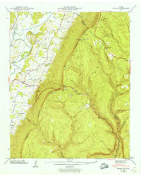
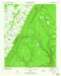
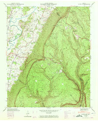
Other maps of this area

1888 · Chattanooga
USGS Topo · 1:125,000

1893 · Chattanooga
USGS Topo · 1:125,000

1895 · Sewanee
USGS Topo · 1:125,000

1936 · Palmer
USGS Topo · 1:24,000

1936 · Daus
USGS Topo · 1:24,000

1936 · Henson Gap
USGS Topo · 1:24,000

1936 · Whitwell
USGS Topo · 1:24,000

1936 · Ketner Gap
USGS Topo · 1:24,000

1936 · Fairmount
USGS Topo · 1:24,000

1936 · Wauhatchie
USGS Topo · 1:24,000
Featured Places
- Signal Mountain, TN
- Whitwell, TN
- Powells Crossroads, TN
- Shirleyton, TN
- Sulphur Springs, Powells Crossroads