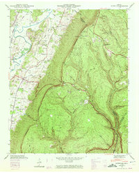
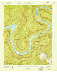
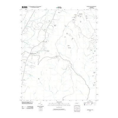
1943 Map of Ketner Gap
USGS Topo · Published 1972About this map
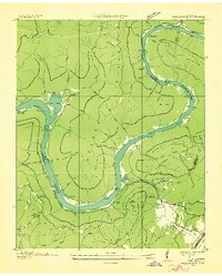
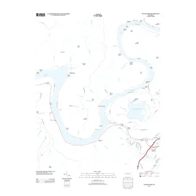
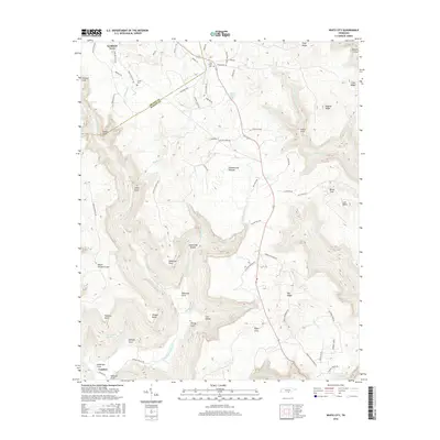
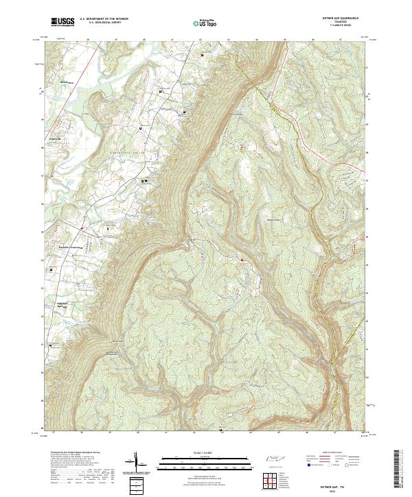
The Cumberland Escarpment dominates this 1943 Tennessee Valley Authority survey, creating a sharp divide between the agricultural Sequatchie Valley and the high plateaus of the Prentice Cooper State Forest. Small settlements and rural institutions are concentrated along the base of the ridge, where the N C & St L RR and Alvin York Highway provided vital transport links. Local life centered around schools like Hicks Chapel Sch and Sulphur Springs Sch, and family burial grounds including Pickett Cem and Teague Cem. Strategic mountain crossings like Ketner Gap and Burnett Gap connect the valley to the rugged interior, while landmarks like the Airway Beacon and Lookout Tower reflect mid-century navigation and forestry management needs.
Find a feature on this map
53 named features on this map. Tap any name to fly to it.
Don’t see what you’re looking for? This feature index may not catch every label — zoom into the map to look around manually.
Map Details
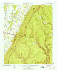
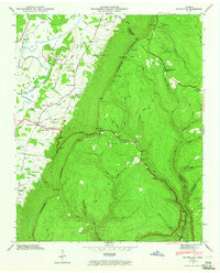
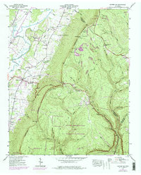
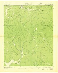
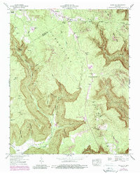
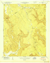
Editions of this 1943 Ketner Gap Map
5 editions found
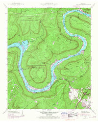
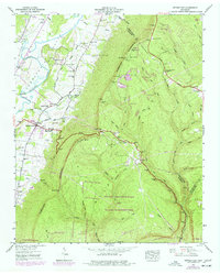
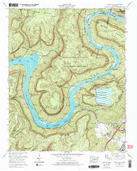
Historical Maps of Signal Mountain Through Time
25 maps found

1936 Ketner Gap
Marion County, TN
1936 Wauhatchie
Marion County, TN
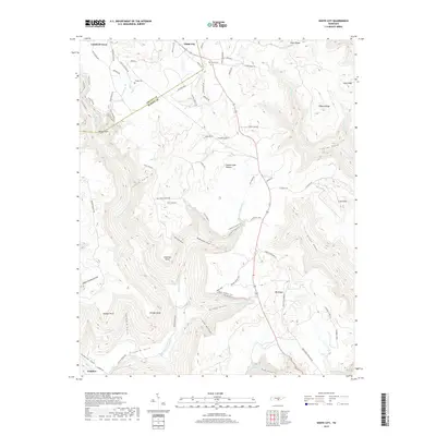
1936 White City
Marion County, TN
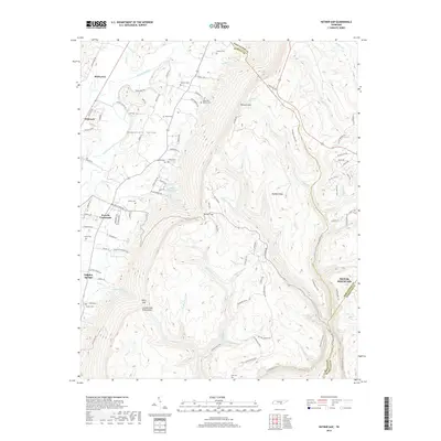
1942 Wauhatchie
Marion County, TN
1943 Ketner Gap
Marion County, TN
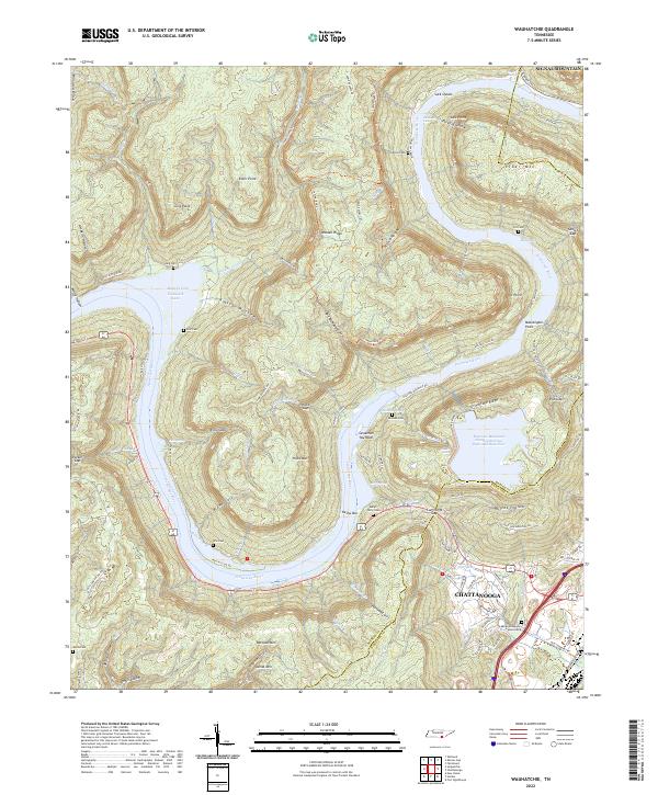
1943 Wauhatchie
Marion County, TN

1946 Ketner Gap
Marion County, TN
1947 White City
Marion County, TN
1950 White City
Marion County, TN
1970 Wauhatchie
Marion County, TN
2010 Ketner Gap
Marion County, TN
2010 Wauhatchie
Marion County, TN
2010 White City
Marion County, TN
2013 Ketner Gap
Marion County, TN
2013 Wauhatchie
Marion County, TN
2013 White City
Marion County, TN
2016 Ketner Gap
Marion County, TN
2016 Wauhatchie
Marion County, TN
2016 White City
Marion County, TN
2019 Ketner Gap
Marion County, TN
2019 Wauhatchie
Marion County, TN
2019 White City
Marion County, TN
2022 Ketner Gap
Marion County, TN
2022 Wauhatchie
Marion County, TN
2022 White City
Marion County, TN
Featured Locations
- Signal Mountain, TN
- Powells Crossroads, TN
- Shirleyton, TN
- Whitwell, TN
- Sulphur Springs, Powells Crossroads