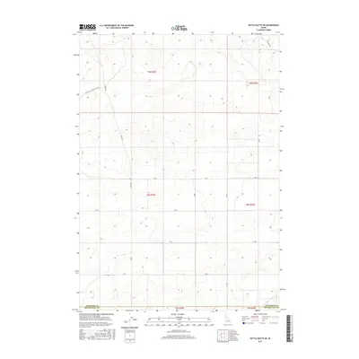
2017 Map of Kettle Butte NE
USGS Topo · Published 2017About this map
The county boundary between Jefferson Co and Bonneville Co cuts across this high desert landscape, characterized by its geometric grid of section lines and gravel access ways. Central to the area is the presence of Kettle Butte Drain, a significant water management feature in an otherwise arid expanse. The map illustrates a transitional rural space where the vast public land survey sections are connected by long-stretching thoroughfares like Twin Butte Sage Junction Rd and Cinder Rd. This network of roads, including the precisely oriented E 400 N and E 300 N, reflects the organized agricultural and ranching development of eastern Idaho. The layout of these township and range divisions provides a clear framework for understanding land use and movement through this part of the Snake River Plain.
Find a feature on this map
14 named features on this map. Tap any name to fly to it.
Don’t see what you’re looking for? This feature index may not catch every label — zoom into the map to look around manually.
Map Details
Editions of this 2017 Kettle Butte NE Map
This is the sole edition of this map. No revisions or reprints were ever made.
Other maps of this area

1949 · Roberts
USGS Topo · 1:62,500

1949 · Roberts
USGS Topo · 1:24,000

1949 · Shattuck Butte
USGS Topo · 1:24,000

1950 · Shattuck Butte
USGS Topo · 1:24,000

1950 · Roberts
USGS Topo · 1:24,000

1955 · Idaho Falls
USGS Topo · 1:250,000

1958 · Idaho Falls
USGS Topo · 1:250,000

1964 · Kettle Butte NE
USGS Topo · 1:24,000

1964 · Kettle Butte NW
USGS Topo · 1:24,000

1964 · Kettle Butte SW
USGS Topo · 1:24,000