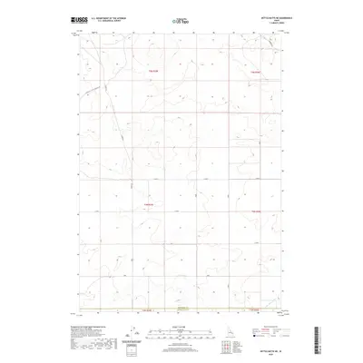
2020 Map of Kettle Butte NE
USGS Topo · Published 2020About this map
The county line between Jefferson Co and Bonneville Co cuts across the southern reach of this high-desert landscape in southeastern Idaho. The terrain is defined by a systematic grid of section lines and secondary roads that negotiate the volcanic topography of the Snake River Plain. Primary access through this area is maintained via Twin Butte Sage Junction Rd and the north-south Cinder Rd, reflecting the region’s development for ranching and agricultural use. In the southeastern corner, the Kettle Butte Drain represents a vital piece of water management infrastructure, channeling resources through the arid basin. The map illustrates the intersection of public land management and local transport, with routes like Diamond Rd connecting the open sagebrush country to more developed irrigation corridors.
Find a feature on this map
14 named features on this map. Tap any name to fly to it.
Don’t see what you’re looking for? This feature index may not catch every label — zoom into the map to look around manually.
Map Details
Editions of this 2020 Kettle Butte NE Map
This is the sole edition of this map. No revisions or reprints were ever made.
Other maps of this area

1949 · Roberts
USGS Topo · 1:62,500

1949 · Roberts
USGS Topo · 1:24,000

1949 · Shattuck Butte
USGS Topo · 1:24,000

1950 · Shattuck Butte
USGS Topo · 1:24,000

1950 · Roberts
USGS Topo · 1:24,000

1955 · Idaho Falls
USGS Topo · 1:250,000

1958 · Idaho Falls
USGS Topo · 1:250,000

1964 · Kettle Butte NE
USGS Topo · 1:24,000

1964 · Kettle Butte NW
USGS Topo · 1:24,000

1964 · Kettle Butte SW
USGS Topo · 1:24,000