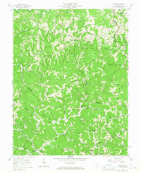
1958 Map of Kettle
USGS Topo · Published 1967About this map
Ambler Ridge and Harper Ridge define the complex topography of this West Virginia interior in the late 1950s, where the landscape is etched by the Oil Field and numerous Gas Wells. The network of Pipeline corridors and a Compressor Station underscore the area's industrial importance during this period. Small settlements like Kettle and Doddtown are surrounded by a dense distribution of rural institutions, including the Mt Moriah Ch and Sandy Knob Sch, reflecting a closely-knit hill country community.
Find a feature on this map
100 named features on this map. Tap any name to fly to it.
Don’t see what you’re looking for? This feature index may not catch every label — zoom into the map to look around manually.
Map Details
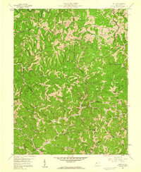
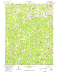
Editions of this 1958 Kettle Map
3 editions found
Other maps of this area

1897 · Kanawha Falls
USGS Topo · 1:125,000

1899 · Charleston
USGS Topo · 1:125,000

1900 · Kanawha Falls
USGS Topo · 1:125,000

1901 · Kanawha Falls
USGS Topo · 1:125,000

1906 · Kenna
USGS Topo · 1:62,500

1906 · Walton
USGS Topo · 1:62,500

1907 · Kenna
USGS Topo · 1:62,500

1907 · Walton
USGS Topo · 1:62,500

1907 · Clendenin
USGS Topo · 1:62,500

1909 · Charleston
USGS Topo · 1:62,500