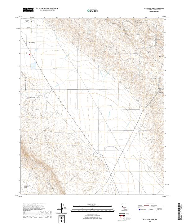
2021 Map of Kettleman Plain
USGS Topo · Published 2021About this map
The Avenal settlement and the industrial topography of the Kettleman Hills define this landscape in the western San Joaquin Valley. This survey captures a region shaped by petroleum geography, evidenced by features such as North Dome, Bullwheel Ridge, and Drillers Ridge, which track the structural geology that made this area a significant California oil field. The topography transitions sharply from the flat Kettleman Plain to the uplifted Kreyenhagen Hills and Reef Ridge, where the complex drainage systems of Big Tar Creek and Arroyo Delgado cut through the terrain. To the south, the map extends into the Sunflower Valley at the foot of the Diablo Range, while modern infrastructure like Skyline Road and Utica Avenue provide the grid for the region's resource-driven economy. For the local historian, Reef Station remains a notable landmark in this arid, ridge-and-plain environment.
Find a feature on this map
50 named features on this map. Tap any name to fly to it.
Don’t see what you’re looking for? This feature index may not catch every label — zoom into the map to look around manually.
Map Details
Editions of this 2021 Kettleman Plain Map
This is the sole edition of this map. No revisions or reprints were ever made.
Other maps of this area

1912 · Coalinga
USGS Topo · 1:125,000

1914 · Lost Hills
USGS Topo · 1:125,000

1914 · Cholame
USGS Topo · 1:125,000

1915 · Cholame
USGS Topo · 1:125,000

1917 · Cholame
USGS Topo · 1:125,000

1930 · Discovery Well
USGS Topo · 1:31,680

1930 · Avenal Gap
USGS Topo · 1:31,680

1930 · Canoas Creek
USGS Topo · 1:31,680

1930 · Kettleman Plain
USGS Topo · 1:31,680

1930 · Middle Dome
USGS Topo · 1:31,680