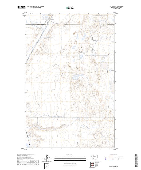
2024 Map of Kevin South
USGS Topo · Published 2024About this map
The town of Kevin anchors the northern edge of this high plains landscape, where the local street grid including Front St and 1st St W transitions into a vast network of section-line roads. This territory is defined by its intermittent drainage systems and ephemeral water bodies, most notably Goedertz Lake and the winding course of Alkali Flat Coulee. Farther south, the land is etched by Potter Coulee, which dictates the placement of Potter Rd and Aloe Rd. The map reveals a highly structured rural environment where every mile is accounted for by naming conventions, such as One Mile Rd and Two Mile Rd, while also preserving family names in the landscape through thoroughfares like Gus Blaze Rd and Kelleher Rd.
Find a feature on this map
26 named features on this map. Tap any name to fly to it.
Don’t see what you’re looking for? This feature index may not catch every label — zoom into the map to look around manually.
Map Details
Editions of this 2024 Kevin South Map
This is the sole edition of this map. No revisions or reprints were ever made.
Other maps of this area

1909 · Cut Bank
USGS Topo · 1:125,000

1912 · Cut Bank
USGS Topo · 1:125,000

1939 · Sunburst
USGS Topo · 1:62,500

1943 · Shelby
USGS Topo · 1:62,500

1954 · Shelby
USGS Topo · 1:250,000

1958 · Shelby
USGS Topo · 1:250,000

1960 · Cut Bank
USGS Topo · 1:250,000

1963 · Cut Bank
USGS Topo · 1:250,000

1964 · Cut Bank
USGS Topo · 1:250,000
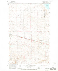
1966 · Ethridge
USGS Topo · 1:24,000