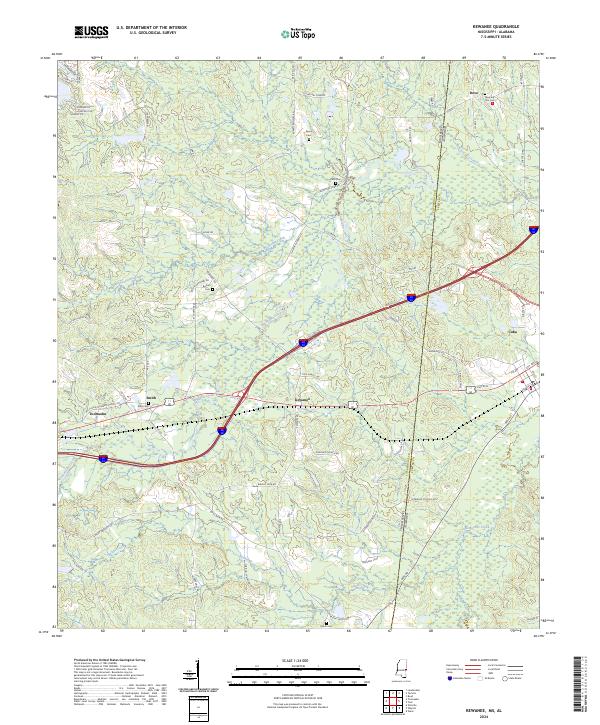
2024 Map of Kewanee
USGS Topo · Published 2024About this map
Kewanee and Toomsuba center this landscape along the state line where Lauderdale and Sumter counties meet. The area is defined by a dense network of creek drainages, including Sucatolba Creek, Toomsuba Creek, and Alamuchee Creek, which have historically influenced the placement of rural settlements and transport corridors. The modern landscape is etched with local history, evidenced by numerous family and community burial sites such as Morning Star Cem, Payne Cem, and Kelly Cem.
Find a feature on this map
78 named features on this map. Tap any name to fly to it.
Don’t see what you’re looking for? This feature index may not catch every label — zoom into the map to look around manually.
Map Details
Editions of this 2024 Kewanee Map
This is the sole edition of this map. No revisions or reprints were ever made.
Historical Maps of Alabama Through Time
18 maps found
1962 Center Hill
Lauderdale County, MS
1962 Daleville
Lauderdale County, MS
1971 Meridian North
Lauderdale County, MS
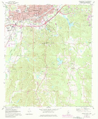
1971 Meridian South
Lauderdale County, MS

1971 Vimville
Lauderdale County, MS
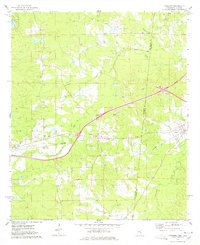
1974 Kewanee
Lauderdale County, MS
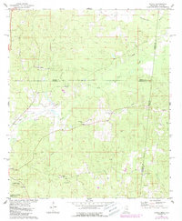
1974 Tamola
Lauderdale County, MS
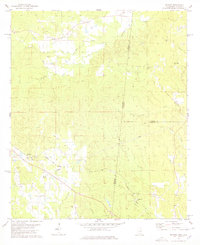
1978 Whynot
Lauderdale County, MS

1982 Meehan
Lauderdale County, MS
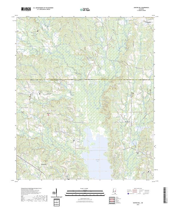
2024 Center Hill
Lauderdale County, MS
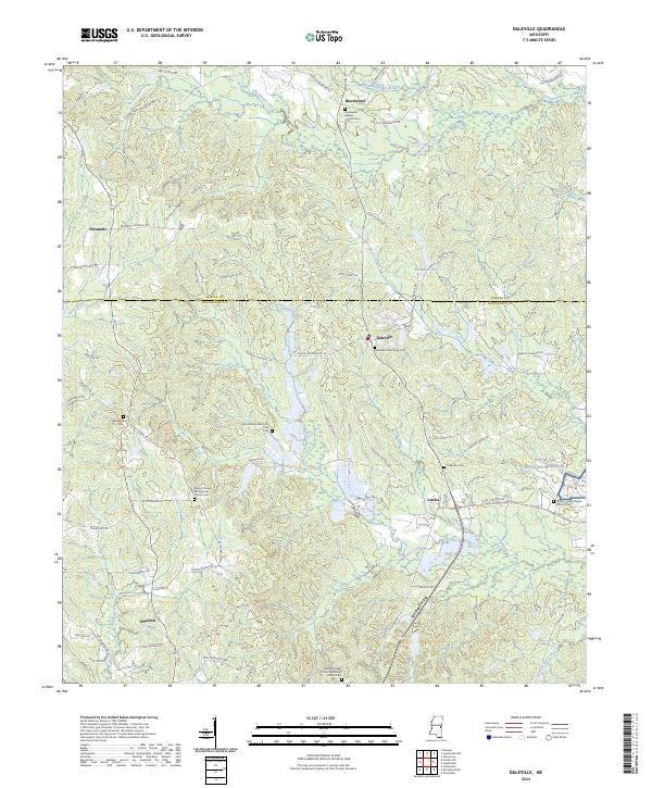
2024 Daleville
Lauderdale County, MS
2024 Kewanee
Lauderdale County, MS
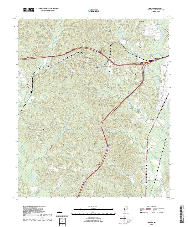
2024 Meehan
Lauderdale County, MS
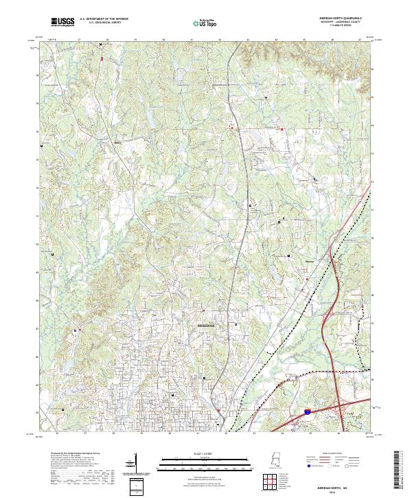
2024 Meridian North
Lauderdale County, MS
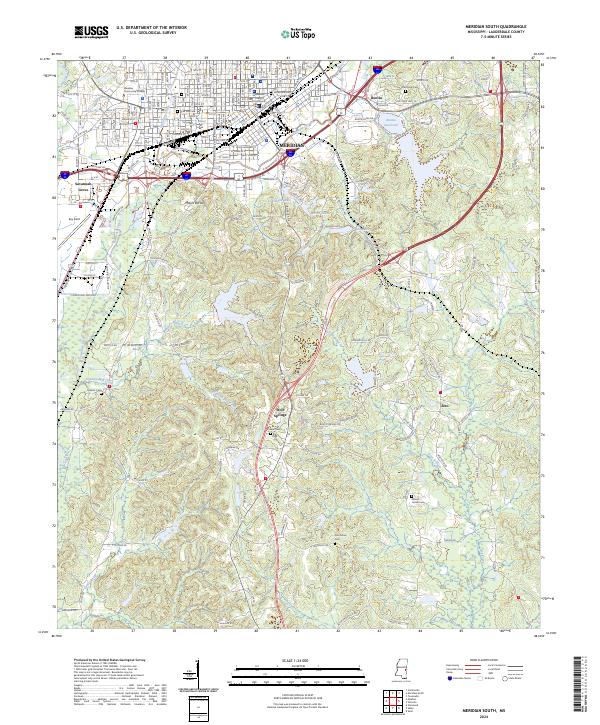
2024 Meridian South
Lauderdale County, MS
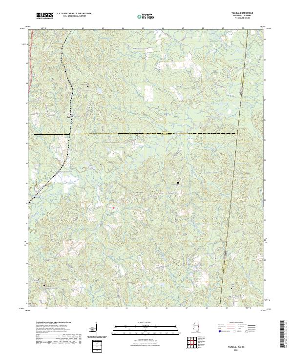
2024 Tamola
Lauderdale County, MS
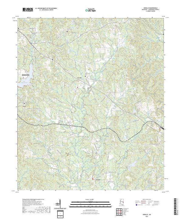
2024 Vimville
Lauderdale County, MS
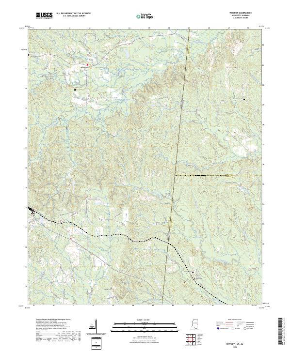
2024 Whynot
Lauderdale County, MS