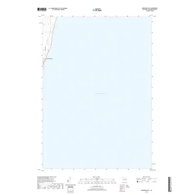
2018 Map of Kewaunee OE E
USGS Topo · Published 2018About this map
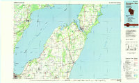
The coastal edge of Kewaunee meets the vast expanse of Lake Michigan in this 2018 survey. The map focuses primarily on the offshore waters, showing the bathymetry and shoreline orientation of this Wisconsin port town. On land, the residential and coastal infrastructure is represented by Lakeshore Dr and Hathaway Dr, which follow the bluff line overlooking the lake. This specific perspective highlights the town's position as a maritime gateway, emphasizing the relationship between the built environment and the great lake that defines its eastern boundary.
Find a feature on this map
4 named features on this map. Tap any name to fly to it.
Don’t see what you’re looking for? This feature index may not catch every label — zoom into the map to look around manually.
Map Details
Editions of this 2018 Kewaunee OE E Map
This is the sole edition of this map. No revisions or reprints were ever made.
Other maps of this area

1952 · Casco
USGS Topo · 1:62,500

1954 · Kewaunee
USGS Topo · 1:62,500

1954 · Manitowoc
USGS Topo · 1:250,000

1958 · Manitowoc
USGS Topo · 1:250,000

1960 · Algoma
USGS Topo · 1:62,500

1978 · Casco
USGS Topo · 1:24,000
1978 · Kewaunee
USGS Topo · 1:24,000
1978 · Two Creeks
USGS Topo · 1:24,000
1982 · Algoma
USGS Topo · 1:24,000
1984 · Sturgeon Bay
USGS Topo · 1:100,000