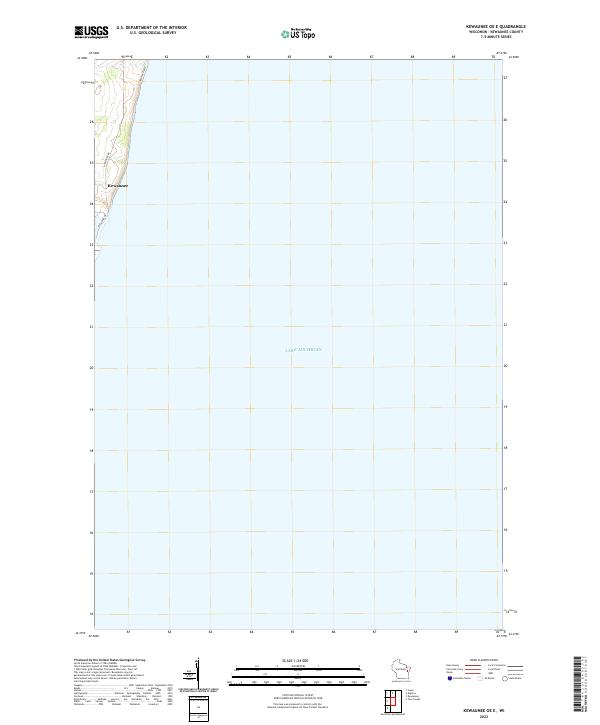
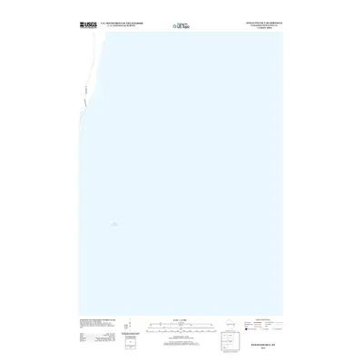
2022 Map of Kewaunee OE E
USGS Topo · Published 2022About this map
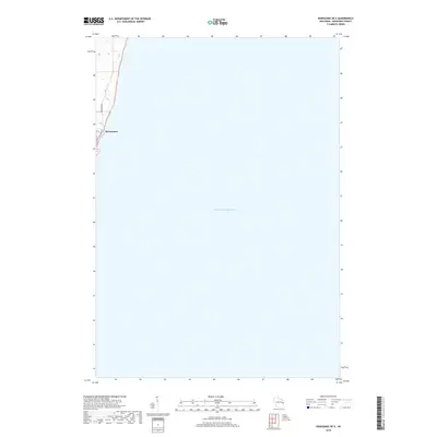
Kewaunee occupies a narrow strip of land along the western edge of this map, which is dominated by the expanse of Lake Michigan. This coastal survey focuses on the lakefront infrastructure and residential development north and south of the town center. Local transportation is defined by Lakeshore Dr and Hathaway Dr, which follow the contour of the shoreline above the bluffs. An offshore Water Trail indicates the modern recreational use of these waters, paralleling the coastline. The land is organized under the Public Land Survey System as township t23n r25e, showing how the grid of the Wisconsin interior meets the irregular natural boundary of the Great Lakes.
Find a feature on this map
6 named features on this map. Tap any name to fly to it.
Don’t see what you’re looking for? This feature index may not catch every label — zoom into the map to look around manually.
Map Details
Editions of this 2022 Kewaunee OE E Map
This is the sole edition of this map. No revisions or reprints were ever made.
Historical Maps of Kewaunee Through Time
11 maps found
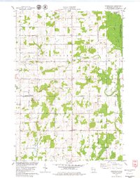
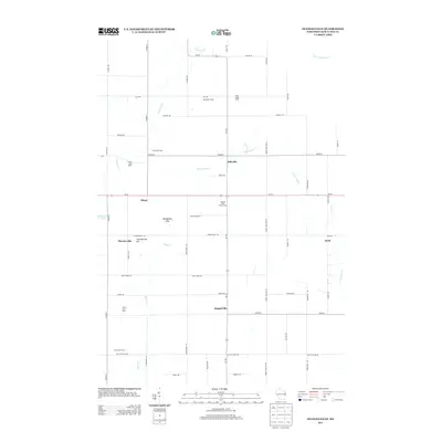
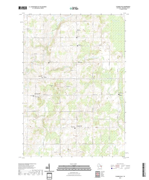
1978 Stangelville
Kewaunee County, WI
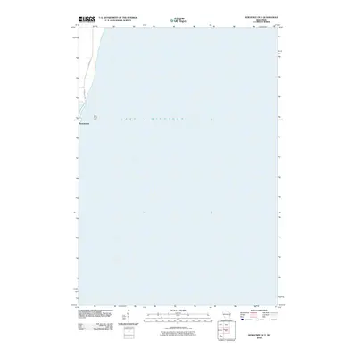
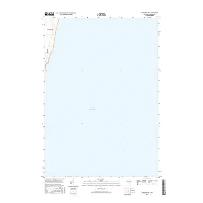
2010 Kewaunee OE E
Kewaunee County, WI
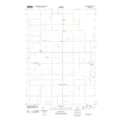
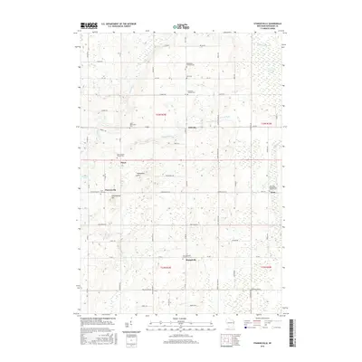
2010 Stangelville
Kewaunee County, WI
2013 Kewaunee OE E
Kewaunee County, WI
2013 Stangelville
Kewaunee County, WI
2015 Kewaunee OE E
Kewaunee County, WI
2015 Stangelville
Kewaunee County, WI
2018 Kewaunee OE E
Kewaunee County, WI
2018 Stangelville
Kewaunee County, WI
2022 Kewaunee OE E
Kewaunee County, WI
2022 Stangelville
Kewaunee County, WI