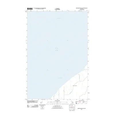
2011 Map of Keweenaw Bay NE
USGS Topo · Published 2011About this map
Abbage Peninsula extends into the vast waters of the Upper Peninsula in this coastal survey, where the land meets the northern reaches of Lake Superior. The geography is defined by its maritime exposure, with the peninsula separating the open lake from the more sheltered waters of Keweenaw Bay. Inland, the road network reflects a pattern of rural property boundaries and local transit, with names like Waisanen, Saari, and Townline suggesting the area's cultural history and systematic land division. Along the eastern shore, Ravenswood Rd and Point Abbaye provide the primary access to this narrow finger of land. The map illustrates a landscape of dense vegetation and isolated shoreline, characteristic of Michigan's rugged coastal reaches before they give way to the open water.
Find a feature on this map
8 named features on this map. Tap any name to fly to it.
Don’t see what you’re looking for? This feature index may not catch every label — zoom into the map to look around manually.
Map Details
Editions of this 2011 Keweenaw Bay NE Map
This is the sole edition of this map. No revisions or reprints were ever made.
Other maps of this area

1954 · Traverse Island
USGS Topo · 1:24,000

1954 · Skanee
USGS Topo · 1:62,500

1954 · Keweenaw Bay
USGS Topo · 1:62,500

1954 · Point Mills
USGS Topo · 1:24,000

1958 · Hancock
USGS Topo · 1:250,000

1958 · Iron River
USGS Topo · 1:250,000

1960 · Iron River
USGS Topo · 1:250,000

1960 · Hancock
USGS Topo · 1:250,000

1961 · Iron River
USGS Topo · 1:250,000

1961 · Hancock
USGS Topo · 1:250,000