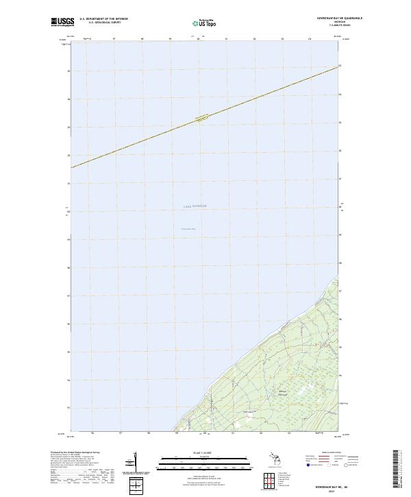
2023 Map of Keweenaw Bay NE
USGS Topo · Published 2023About this map
The waters of Lake Superior dominate this maritime survey of the Upper Peninsula, where the open expanse of Keweenaw Bay meets the northernmost reaches of Baraga County. The terrain is centered on the Abbaye Peninsula, a landform characterized by its isolation and its shoreline orientation towards the Great Lakes. The survey shows the boundary between Houghton County and Baraga County stretching across the open water, illustrating the administrative divisions that persist even in these offshore environments.
Find a feature on this map
16 named features on this map. Tap any name to fly to it.
Don’t see what you’re looking for? This feature index may not catch every label — zoom into the map to look around manually.
Map Details
Editions of this 2023 Keweenaw Bay NE Map
This is the sole edition of this map. No revisions or reprints were ever made.
Other maps of this area
1954 · Traverse Island
USGS Topo · 1:24,000
1954 · Skanee
USGS Topo · 1:62,500
1954 · Keweenaw Bay
USGS Topo · 1:62,500
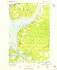
1954 · Point Mills
USGS Topo · 1:24,000
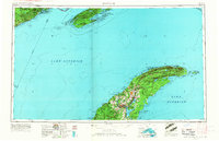
1958 · Hancock
USGS Topo · 1:250,000

1958 · Iron River
USGS Topo · 1:250,000
1960 · Iron River
USGS Topo · 1:250,000
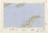
1960 · Hancock
USGS Topo · 1:250,000
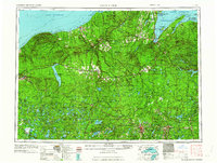
1961 · Iron River
USGS Topo · 1:250,000
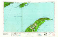
1961 · Hancock
USGS Topo · 1:250,000