
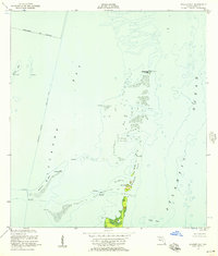
1947 Map of Key Biscayne
USGS Topo · Published 1961About this map
Key Biscayne is the central focus of this mid-century survey, showing the island during a period of transition as the Rickenbacker Causeway newly linked it to mainland Miami. On the island's northern end, the extensive grounds of Crandon Park are established, while the interior is crisscrossed by planned thoroughfares like Airline Road and South Line Road. To the south, the landscape remains dominated by natural features like Swan Pond and The Pines Canal leading toward Cape Florida.
Find a feature on this map
48 named features on this map. Tap any name to fly to it.
Don’t see what you’re looking for? This feature index may not catch every label — zoom into the map to look around manually.
Map Details
Editions of this 1947 Key Biscayne Map
This is the sole edition of this map. No revisions or reprints were ever made.
Other maps of this area

1948 · Soldier Key
USGS Topo · 1:24,000

1949 · Key Biscayne
USGS Topo · 1:24,000

1949 · Perrine
USGS Topo · 1:24,000

1950 · Hialeah
USGS Topo · 1:24,000

1950 · Miami
USGS Topo · 1:24,000

1950 · South Miami
USGS Topo · 1:24,000

1956 · Perrine
USGS Topo · 1:24,000

1956 · South Miami
USGS Topo · 1:24,000
1956 · Soldier Key
USGS Topo · 1:24,000

1956 · Miami
USGS Topo · 1:250,000