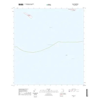
2021 Map of Key Lois
USGS Topo · Published 2021About this map
Key Lois and the surrounding waters of Monroe County define this maritime landscape in the Florida Keys. The map details a predominantly aquatic environment where the Atlantic Ocean meets the specialized navigational routes of the Intracoastal Waterway and Hawk Channel. These channels have long been vital for vessel transit through the archipelago, protecting craft from the open sea.
Find a feature on this map
9 named features on this map. Tap any name to fly to it.
Don’t see what you’re looking for? This feature index may not catch every label — zoom into the map to look around manually.
Map Details
Editions of this 2021 Key Lois Map
This is the sole edition of this map. No revisions or reprints were ever made.
Other maps of this area

1921 · Sugar Loaf Key
USGS Topo · 1:62,500

1943 · Saddlebunch Keys
USGS Topo · 1:24,000

1943 · Sugarloaf Key
USGS Topo · 1:24,000

1968 · Saddlebunch Keys
USGS Topo · 1:24,000

1972 · Big Pine Key
USGS Topo · 1:24,000

1972 · Loggerhead Key
USGS Topo · 1:24,000
1972 · Saddlebunch Keys
USGS Topo · 1:24,000

1972 · Summerland Key
USGS Topo · 1:24,000
1972 · Sugarloaf Key
USGS Topo · 1:24,000

1983 · Key West
USGS Topo · 1:100,000