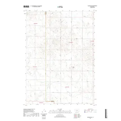
2017 Map of Keyapaha NW
USGS Topo · Published 2017About this map
The Keya Paha River winds through the southern reaches of this landscape on the border of Todd and Tripp Counties. This region is defined by a sparse network of section-line roads, such as 287th St and 300th Ave, which connect isolated homesteads and ranching lands. In the northern portion of the quadrangle, the Jerusalem Cem provides a specific point of interest for genealogists tracing local families. The terrain is shaped by the prominent Dorian Buttes and a series of intermittent drainages including Willow Cr, Crazy Hole Cr, and Eagle Cr. The mapping reflects a modern era of land management, illustrating the precise township and range boundaries that have organized this part of South Dakota for generations.
Find a feature on this map
29 named features on this map. Tap any name to fly to it.
Don’t see what you’re looking for? This feature index may not catch every label — zoom into the map to look around manually.
Map Details
Editions of this 2017 Keyapaha NW Map
This is the sole edition of this map. No revisions or reprints were ever made.
Other maps of this area

1955 · Martin
USGS Topo · 1:250,000

1958 · Martin
USGS Topo · 1:250,000

1982 · Witten SE
USGS Topo · 1:25,000

1982 · Keyapaha SE
USGS Topo · 1:24,000

1982 · Witten SW
USGS Topo · 1:25,000
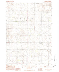
1982 · Clearfield
USGS Topo · 1:24,000

1982 · Hidden Timber SE
USGS Topo · 1:24,000

1982 · Okreek SE
USGS Topo · 1:24,000
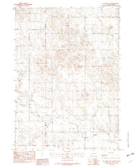
1982 · Keyapaha NW
USGS Topo · 1:24,000
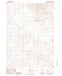
1982 · Hidden Timber NE
USGS Topo · 1:24,000