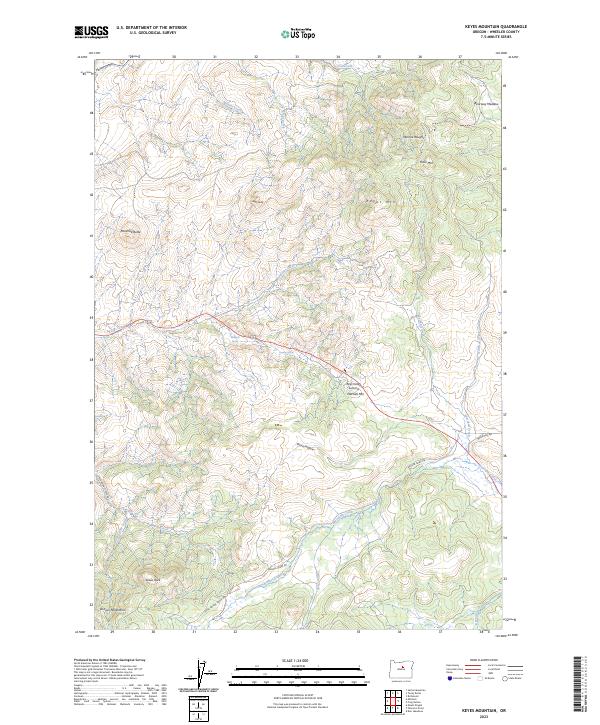
2023 Map of Keyes Mountain
USGS Topo · Published 2023About this map
The Ochoco Mountains form a high-desert backdrop for this Wheeler County landscape, defined by a complex network of canyons and high peaks. Prominent elevations like Keyes Mtn, Mitchell Mtn, and the distinctive Marshall Butte overlook a series of seasonal drainages including Mountain Creek and Badger Creek. The terrain is marked by significant geographic landmarks such as Keys Creek Summit and Lewis Rock, while smaller hidden features like Maxwell Spring and Dooney Spring provide water sources in the arid environment.
Find a feature on this map
34 named features on this map. Tap any name to fly to it.
Don’t see what you’re looking for? This feature index may not catch every label — zoom into the map to look around manually.
Map Details
Editions of this 2023 Keyes Mountain Map
This is the sole edition of this map. No revisions or reprints were ever made.
Other maps of this area

1926 · Mitchell
USGS Topo · 1:125,000

1932 · Dayville
USGS Topo · 1:125,000

1936 · Dayville
USGS Topo · 1:125,000

1953 · Richmond
USGS Topo · 1:62,500

1955 · Bend
USGS Topo · 1:250,000

1955 · Canyon City
USGS Topo · 1:250,000

1957 · Bend
USGS Topo · 1:250,000

1958 · Bend
USGS Topo · 1:250,000

1959 · Canyon City
USGS Topo · 1:250,000

1966 · Peterson Point
USGS Topo · 1:24,000