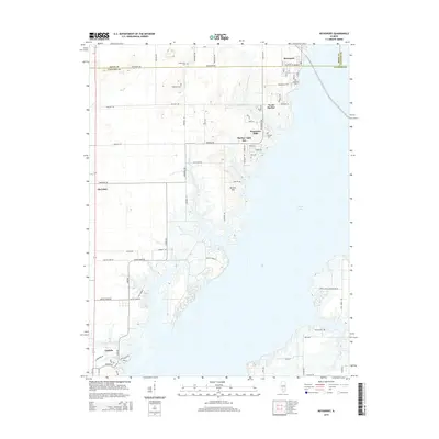
2015 Map of Keyesport
USGS Topo · Published 2015About this map
Carlyle Lake dominates this portion of Clinton and Bond Counties, shaping the development and recreational character of the surrounding landscape. The village of Keyesport sits at the northern reaches of the lake, where local streets like Railroad St and Clinton St meet the shoreline. This area serves as a primary hub for lakefront communities, including North Harbor, Harbor Light Bay, and Panorama Hills, all situated along the eastern banks of the water.
Find a feature on this map
63 named features on this map. Tap any name to fly to it.
Don’t see what you’re looking for? This feature index may not catch every label — zoom into the map to look around manually.
Map Details
Editions of this 2015 Keyesport Map
This is the sole edition of this map. No revisions or reprints were ever made.
Other maps of this area

1910 · Carlyle
USGS Topo · 1:62,500

1914 · Centralia
USGS Topo · 1:62,500

1932 · Greenville
USGS Topo · 1:62,500

1935 · Centralia
USGS Topo · 1:62,500

1939 · Greenville
USGS Topo · 1:62,500

1943 · Greenville
USGS Topo · 1:62,500

1945 · Vandalia
USGS Topo · 1:62,500

1947 · Vandalia
USGS Topo · 1:62,500

1948 · Carlyle
USGS Topo · 1:62,500

1958 · Belleville
USGS Topo · 1:250,000