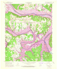
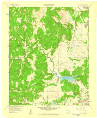
1958 Map of Keystone Dam
USGS Topo · Published 1968About this map
The Keystone Reservoir dominates this landscape where the Arkansas River and Cimarron River converge, reflecting a period of significant hydrological change in the late 1950s and 1960s. The purple revisions on this map illustrate the inundation patterns following the construction of the dam, showing how the rising waters reshaped the terrain around the Osage Indian Reservation Boundary. The relocation of local life is evident at New Mannford and the established Keystone State Park, while smaller settlements like Prue and Waresha provide clues to the region's earlier rural footprint.
Find a feature on this map
36 named features on this map. Tap any name to fly to it.
Don’t see what you’re looking for? This feature index may not catch every label — zoom into the map to look around manually.
Map Details
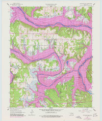
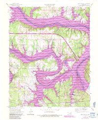
Editions of this 1958 Keystone Dam Map
4 editions found
Other maps of this area

1912 · Hominy
USGS Topo · 1:125,000

1915 · Hominy
USGS Topo · 1:125,000

1915 · Hominy
USGS Topo · 1:62,500

1955 · Enid
USGS Topo · 1:250,000

1958 · Enid
USGS Topo · 1:250,000

1958 · Keystone Dam
USGS Topo · 1:24,000
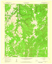
1958 · Mannford SE
USGS Topo · 1:24,000

1958 · Wekiwa
USGS Topo · 1:24,000
1959 · Lake Sahoma
USGS Topo · 1:24,000

1966 · Cleveland
USGS Topo · 1:24,000