Loading...
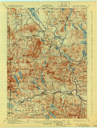
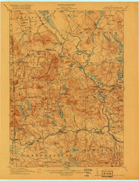
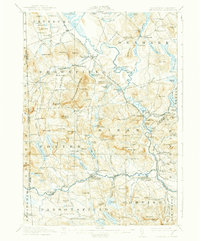
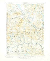
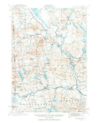
Loading map...1911 Map of Kezar Falls
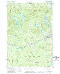
USGS Topo · Published 1931About this map
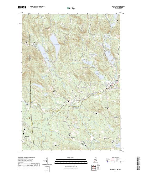
The Saco River and the Maine Central RR define the industrial and transit corridor of this region during the early twentieth century. This survey documents the transition from river-based power to rail-dependent trade, most visible at the intersection of water and rail near East Brownfield Brownfield Sta. The landscape is dotted with rural educational and social centers, including the prominent Parsonsfield Seminary and a network of neighborhood schoolhouses like the Blake School and Rounds School.
Find a feature on this map
153 named features on this map. Tap any name to fly to it.
Don’t see what you’re looking for? This feature index may not catch every label — zoom into the map to look around manually.
Map Details
Date Portrayed1911
Date Published1931
PublisherU.S. Geological Survey
Map TypeTopographic
Scale1:62,500
Physical Dimensions15.4 x 20.3 inches
Editions of this 1911 Kezar Falls Map
5 editions found

Historical Maps of Bridgton Through Time
8 maps found
Featured Locations
Source Details
SourceU.S. Geological Survey
CopyrightPublic Domain