
2017 Map of Kid Creek
USGS Topo · Published 2017About this map
Wolf Mountains topography dominates this section of Big Horn County, Montana, where a complex network of seasonal drainages and ridge lines defines the landscape. The northern reaches are marked by Sioux Pass and the headwaters of Sioux Pass Cr, while the western edge contains Steinhilber Reservoir. This 2017 survey shows a land primarily organized around water access and ranching infrastructure, with unpaved routes like Little Owl Crk Rd and Bear Creek Rd following the natural contours of the valley floors. These roads connect isolated points along Bear Cr, Kid Cr, and Little Owl Cr. The drainage patterns, including Dry Beaver Cr and Little Beaver Cr, illustrate the intricate watershed of the Crow Indian Reservation region as it appeared in the early 21st century.
Find a feature on this map
23 named features on this map. Tap any name to fly to it.
Don’t see what you’re looking for? This feature index may not catch every label — zoom into the map to look around manually.
Map Details
Editions of this 2017 Kid Creek Map
This is the sole edition of this map. No revisions or reprints were ever made.
Other maps of this area

1894 · Rosebud
USGS Topo · 1:125,000

1901 · Rosebud
USGS Topo · 1:125,000

1954 · Hardin
USGS Topo · 1:250,000

1957 · Hardin
USGS Topo · 1:250,000

1958 · Hardin
USGS Topo · 1:250,000

1967 · Kid Creek
USGS Topo · 1:24,000

1967 · Wolf Mountain Lookout
USGS Topo · 1:24,000

1967 · Bar V Ranch NE
USGS Topo · 1:24,000
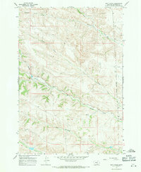
1967 · Bar V Ranch
USGS Topo · 1:24,000
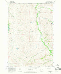
1967 · Wyola NE
USGS Topo · 1:24,000