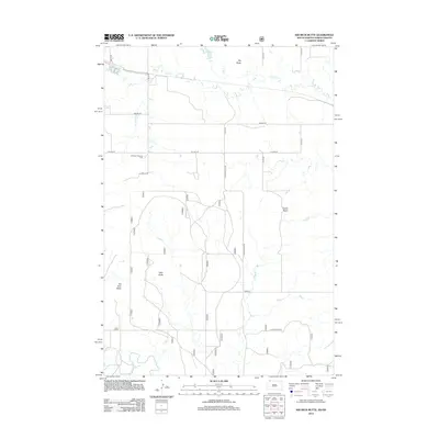
2012 Map of Kid Rich Butte
USGS Topo · Published 2012About this map
Kid Rich Butte and Wolf Butte dominate the high ground in this section of the Great Plains, located near the border of North and South Dakota. The landscape is defined by the headwaters of the North Fork Grand River and the winding course of Flat Cr, which flows eastward beneath the shadow of Big Butte. A structured grid of section-line roads, including 4th Ave SE and 7th St SE, organizes the agricultural terrain, while local recreation is centered at the Hettinger Country Club. The presence of named formations like Castle Butte provides distinct navigational landmarks in an otherwise open, prairie environment. This 2012 survey captures the modern rural infrastructure of the region, where gravel roads like Castlebutte Rd connect isolated homesteads to the wider county network.
Find a feature on this map
17 named features on this map. Tap any name to fly to it.
Don’t see what you’re looking for? This feature index may not catch every label — zoom into the map to look around manually.
Map Details
Editions of this 2012 Kid Rich Butte Map
This is the sole edition of this map. No revisions or reprints were ever made.
Other maps of this area

1953 · Dickinson
USGS Topo · 1:250,000

1954 · Lemmon
USGS Topo · 1:250,000

1957 · Dickinson
USGS Topo · 1:250,000

1957 · Lemmon
USGS Topo · 1:250,000

1974 · Hettinger North
USGS Topo · 1:24,000

1974 · Hettinger South
USGS Topo · 1:24,000

1974 · Kid Rich Butte
USGS Topo · 1:24,000

1974 · Haynes
USGS Topo · 1:24,000

1980 · Mott
USGS Topo · 1:100,000

1983 · Lodgepole SE
USGS Topo · 1:24,000