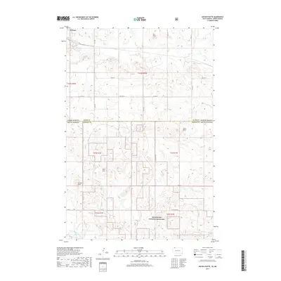
2017 Map of Kid Rich Butte
USGS Topo · Published 2017About this map
Hettinger occupies the northwestern corner of this landscape, positioned along the border where North Dakota meets South Dakota. This territory is characterized by its significant geologic formations, notably the prominent Kid Rich Butte and nearby Wolf Butte, which rise above the surrounding plains. The southern portion of the map is dominated by the Grand River National Grassland, a protected expanse that highlights the regional commitment to preserving the shortgrass prairie ecosystem.
Find a feature on this map
26 named features on this map. Tap any name to fly to it.
Don’t see what you’re looking for? This feature index may not catch every label — zoom into the map to look around manually.
Map Details
Editions of this 2017 Kid Rich Butte Map
This is the sole edition of this map. No revisions or reprints were ever made.
Other maps of this area

1953 · Dickinson
USGS Topo · 1:250,000

1954 · Lemmon
USGS Topo · 1:250,000

1957 · Dickinson
USGS Topo · 1:250,000

1957 · Lemmon
USGS Topo · 1:250,000

1974 · Hettinger North
USGS Topo · 1:24,000

1974 · Hettinger South
USGS Topo · 1:24,000

1974 · Kid Rich Butte
USGS Topo · 1:24,000

1974 · Haynes
USGS Topo · 1:24,000

1980 · Mott
USGS Topo · 1:100,000

1983 · Lodgepole SE
USGS Topo · 1:24,000