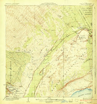
1924 Map of Kilauea
USGS Topo · Published 1924About this map
Halemaumau Crater and the active volcanic landscape of the Puna District and Kau District dominate this topographic study, recorded just a few years after the establishment of Hawaii National Park. The map documents the specific footprints of several recent geological events, including the Lava Flow of 1881 and the Lava Flow of 1920, alongside the Great Crack and numerous pit craters. Human activity in this volatile environment is clustered around the Volcano House and Kilauea Military Camp near the crater rim.
Find a feature on this map
97 named features on this map. Tap any name to fly to it.
Don’t see what you’re looking for? This feature index may not catch every label — zoom into the map to look around manually.
Map Details
Editions of this 1924 Kilauea Map
5 editions found
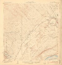
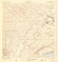
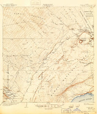
Other maps of this area

1917 · Hilo
USGS Topo · 1:62,500

1921 · Kilauea
USGS Topo · 1:62,500

1922 · Puna
USGS Topo · 1:62,500

1923 · Pahala
USGS Topo · 1:62,500

1924 · Kilauea
USGS Topo · 1:62,500

1924 · Puna
USGS Topo · 1:62,500

1924 · Honuapo
USGS Topo · 1:62,500

1927 · Kaohe
USGS Topo · 1:62,500

1928 · Mauna Loa
USGS Topo · 1:62,500

1930 · Humuula
USGS Topo · 1:62,500